
Country United States Elevation 323 m Local time Friday 3:14 AM | GNIS feature ID 0453388 Area 92.41 km² Population 1,352 (2010) | |
 | ||
Weather 0°C, Wind SE at 10 km/h, 52% Humidity | ||
Harrison Township is one of thirteen townships in Henry County, Indiana, United States. As of the 2010 census, its population was 1,352 and it contained 587 housing units.
Contents
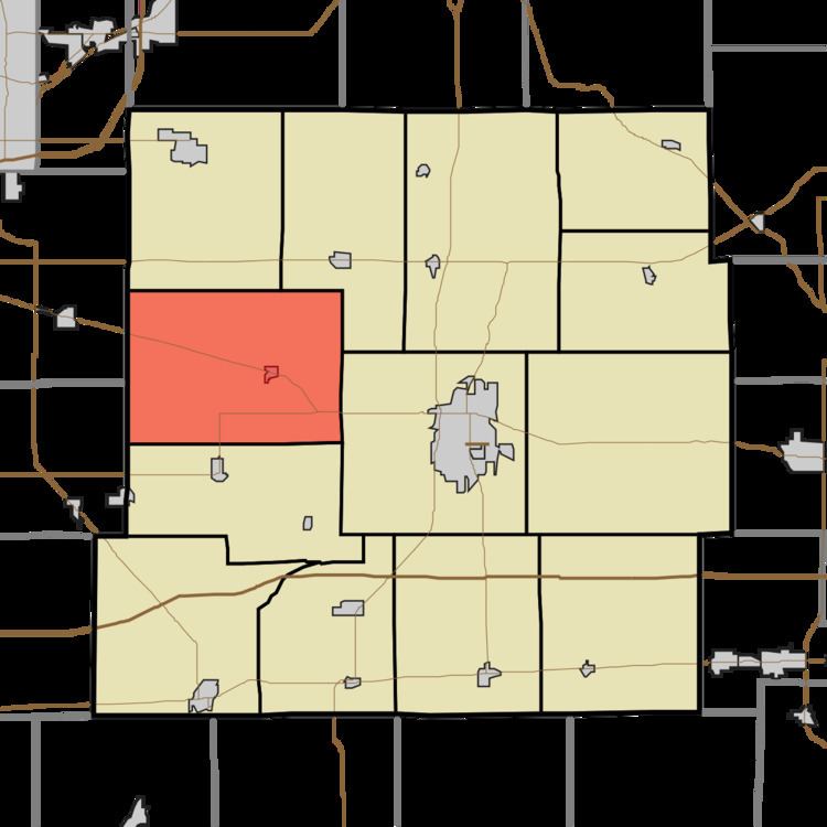
- Map of Harrison Township IN USA
- History
- Geography
- Cities and towns
- Adjacent townships
- Cemeteries
- Major highways
- References
Map of Harrison Township, IN, USA
Harrison Township was organized in 1838.
History
Henry F. Whitelock House and Farm was added to the National Register of Historic Places in 1983.
Geography
According to the 2010 census, the township has a total area of 35.68 square miles (92.4 km2), of which 35.6 square miles (92 km2) (or 99.78%) is land and 0.08 square miles (0.21 km2) (or 0.22%) is water. The streams of Bone Run, Cadiz Run, Clear Spring, Down Run, Hendricks Brook, Jakes Branch, Owner Run and Quaker Run run through this township.
Cities and towns
Adjacent townships
Cemeteries
The township contains two cemeteries: Hess, Cadiz Friends, Clear Springs, & Quaker. Also, there is the Hedrick cemetery located on the Grant City Rd. 1/4 mile south of the CENTRAL AVENUE rd.