
Elevation 268 m Local time Sunday 7:45 AM | GNIS feature ID 0453292 Area 109.5 km² Population 14,695 (2010) | |
 | ||
ZIP codes 46011, 46013, 46040, 46048, 46064 Weather -7°C, Wind NE at 10 km/h, 65% Humidity | ||
Fall Creek Township is one of fourteen townships in Madison County, Indiana, United States. As of the 2010 census, its population was 14,695 and it contained 4,570 housing units.
Contents
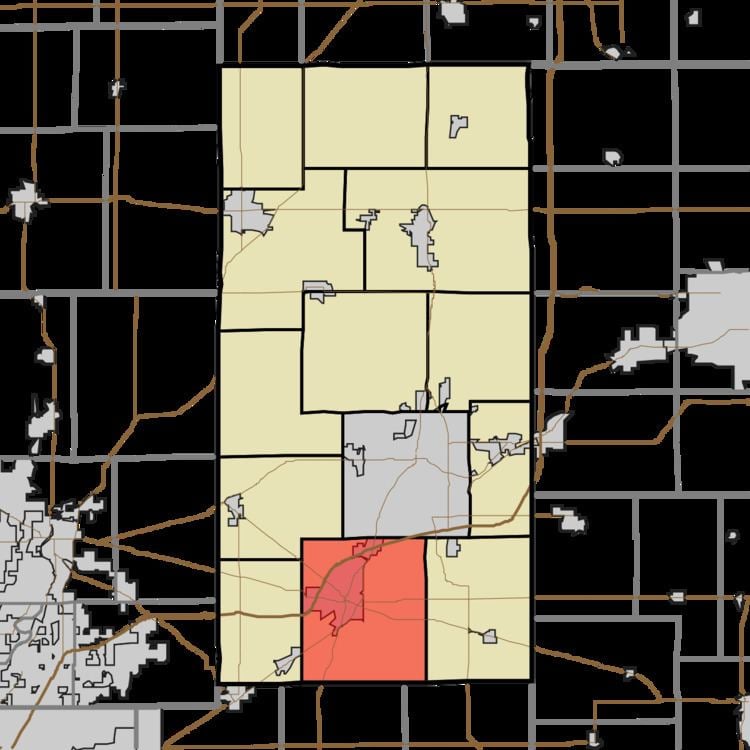
- Map of Fall Creek Township IN USA
- History
- Geography
- Cities towns villages
- Unincorporated towns
- Cemeteries
- Major highways
- Airports and landing strips
- Prisons
- School districts
- Political districts
- References
Map of Fall Creek Township, IN, USA
It was named from its principal stream and waterfalls.
History
The Fall Creek Meeting House was listed in the National Register of Historic Places in 1997.
Geography
According to the 2010 census, the township has a total area of 42.27 square miles (109.5 km2), of which 41.98 square miles (108.7 km2) (or 99.31%) is land and 0.29 square miles (0.75 km2) (or 0.69%) is water.
Cities, towns, villages
Unincorporated towns
(This list is based on USGS data and may include former settlements.)
Cemeteries
The township contains these four cemeteries: Anderson Memorial Park, Bunker, Crosley and Grovelawn.
Major highways
Airports and landing strips
Prisons
Three facilities of the Indiana Department of Corrections are in Fall Creek Township