
Country United States Elevation 268 m Local time Thursday 6:59 PM | GNIS feature ID 0453341 Area 78.63 km² Population 1,662 (2010) | |
 | ||
Weather 11°C, Wind N at 21 km/h, 43% Humidity | ||
Green Township is one of nine townships in Hancock County, Indiana, United States. As of the 2010 census, its population was 1,662 and it contained 663 housing units.
Contents
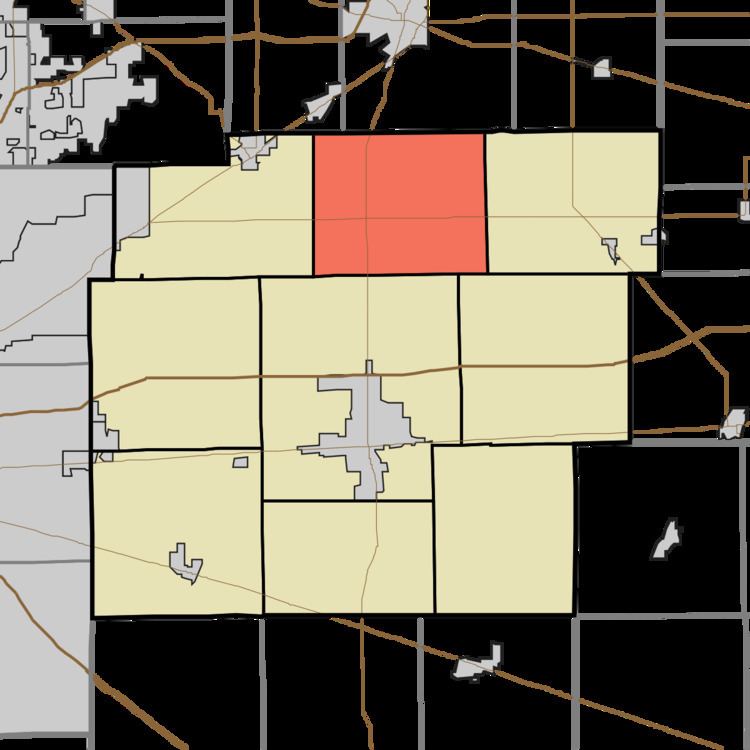
- Map of Green Township IN USA
- History
- Geography
- Unincorporated towns
- Adjacent townships
- Cemeteries
- Major highways
- References
Map of Green Township, IN, USA
History
Green Township was organized in 1832. It was named for John Green, a pioneer settler.
Geography
According to the 2010 census, the township has a total area of 30.36 square miles (78.6 km2), of which 30.24 square miles (78.3 km2) (or 99.60%) is land and 0.12 square miles (0.31 km2) (or 0.40%) is water.
Unincorporated towns
(This list is based on USGS data and may include former settlements.)
Adjacent townships
Cemeteries
The township contains four cemeteries: Chappell, Cook, Olvey and Wynn.
Major highways
References
Green Township, Hancock County, Indiana Wikipedia(Text) CC BY-SA