
Country United States Elevation 295 m Local time Sunday 12:15 PM | GNIS feature ID 0454031 Area 84.12 km² Population 4,216 (2010) | |
 | ||
Weather 20°C, Wind S at 26 km/h, 33% Humidity | ||
Wayne Township is one of thirteen townships in Henry County, Indiana, United States. As of the 2010 census, its population was 4,216 and it contained 1,828 housing units.
Contents
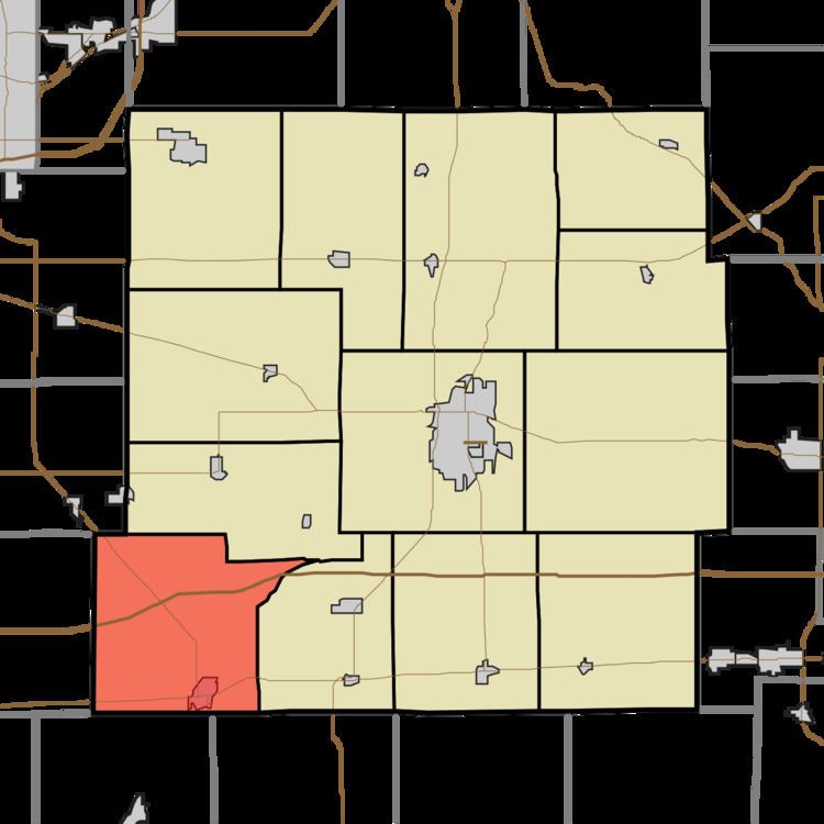
- Map of Wayne Township IN USA
- Geography
- Cities and towns
- Unincorporated towns
- Adjacent townships
- Cemeteries
- Major highways
- Airports and landing strips
- References
Map of Wayne Township, IN, USA
Geography
According to the 2010 census, the township has a total area of 32.48 square miles (84.1 km2), of which 32.31 square miles (83.7 km2) (or 99.48%) is land and 0.18 square miles (0.47 km2) (or 0.55%) is water. The streams of Buck Creek, Central Creek, Duck Creek, Glen Run, Grant Run, Knox Run, Perry Brook and Ring Run run through this township.
Cities and towns
Unincorporated towns
(This list is based on USGS data and may include former settlements.)
Adjacent townships
Cemeteries
The township contains one cemetery, Glencove.
Major highways
Airports and landing strips
References
Wayne Township, Henry County, Indiana Wikipedia(Text) CC BY-SA