
County Hancock ZIP code 46186 Elevation 296 m | State Indiana FIPS code 18-80288 Local time Saturday 6:40 PM | |
 | ||
Weather 17°C, Wind S at 16 km/h, 31% Humidity | ||
Warrington is an unincorporated community in Brown Township, Hancock County, Indiana.
Contents
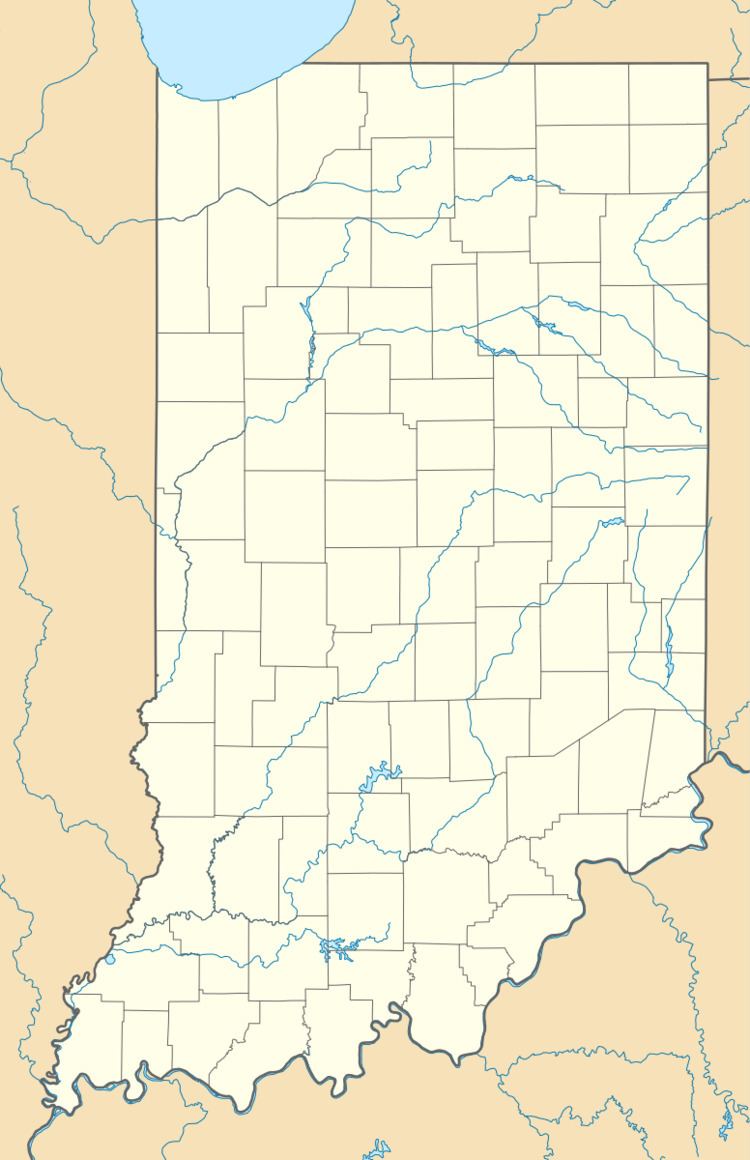
Map of Warrington, IN 46186, USA
Geography
Warrington is located at 39°54′27″N 85°38′02″W.
History
Warrington was first platted in by John Oldham in 1834. A post office was established at Warrington in 1849, and remained in operation until it was discontinued in 1919.
References
Warrington, Indiana Wikipedia(Text) CC BY-SA