
Country United States GNIS feature ID 453865 Local time Thursday 8:16 AM | FIPS code 18-72134 Elevation 307 m Population 1,156 (2010) | |
 | ||
Weather 9°C, Wind E at 13 km/h, 78% Humidity Area 92.26 km² (92.13 km² Land / 16 ha Water) | ||
Springfield Township is one of thirteen townships in Franklin County, Indiana. As of the 2010 census, its population was 1,156.
Contents
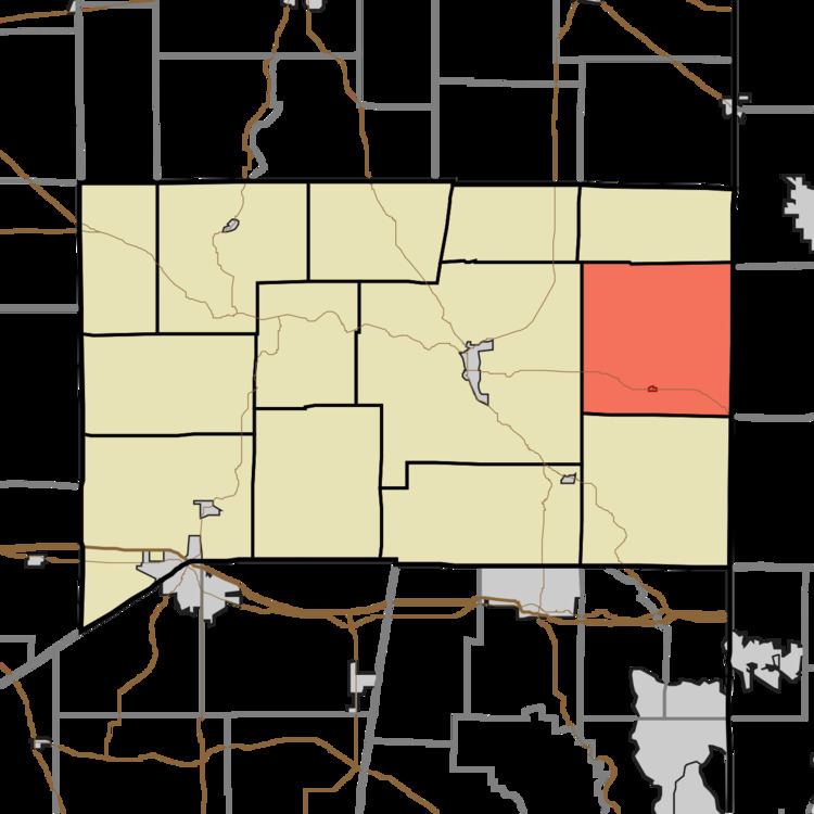
- Map of Springfield Township IN USA
- History
- Geography
- Cities and towns
- Unincorporated towns
- Major highways
- Cemeteries
- References
Map of Springfield Township, IN, USA
History
Springfield Township was established in 1817. The origin of the name is unclear. Some hold it was named for a large spring where a blockhouse was to be built, while others believe it was named for a town in the East where the first settlers originated.
The Joseph Shafer Farm was listed on the National Register of Historic Places in 1982.
Geography
According to the 2010 census, the township has a total area of 35.62 square miles (92.3 km2), of which 35.57 square miles (92.1 km2) (or 99.86%) is land and 0.06 square miles (0.16 km2) (or 0.17%) is water.
Cities and towns
Unincorporated towns
(This list is based on USGS data and may include former settlements.)
Major highways
Cemeteries
The township contains five cemeteries: Asbury, Conn, James, Mount Carmel and Springfield.