
County Franklin ZIP code 47012 Elevation 189 m | State Indiana FIPS code 18-72818 Local time Sunday 6:56 PM | |
 | ||
Weather 14°C, Wind W at 10 km/h, 93% Humidity | ||
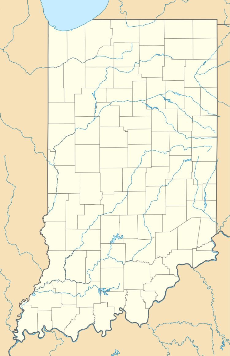
Stavetown is an unincorporated community in Brookville Township, Franklin County, Indiana.
Contents
Map of Stavetown, IN 47012, USA
History
Stavetown received its name from a stave factory once located there. The stave factory was destroyed in the Great Flood of 1913 and was not rebuilt.
Geography
Stavetown is located at 39°24′39″N 85°00′36″W.
References
Stavetown, Indiana Wikipedia(Text) CC BY-SA