
 | ||
Bov Point (Bulgarian: нос Бов, ‘Nos Bov’ \'nos 'bov) is the ice-covered point on the south side of the entrance to Kayak Bay on the east coast of Brabant Island in the Palmer Archipelago, Antarctica.
Contents
The point is named after the settlement of Bov in Western Bulgaria.
Location
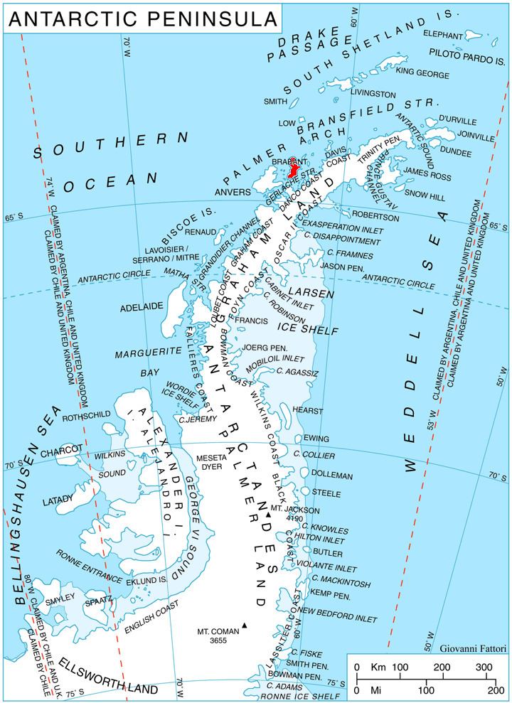
Bov Point is located at 64°17′07.3″S 62°09′14″W, which is 9.36 km southwest of Mitchell Point, 2.7 km west of Hvarchil Point on Lecointe Island, 3.35 km north-northeast of Momino Point, and 2.7 km east-southeast of Podem Peak whose offshoot forms the point. British mapping in 1980 and 2008.
Maps
References
Bov Point Wikipedia(Text) CC BY-SA