
Width 2.2 km (1.37 mi) Population Uninhabited | Length 7.27 km (4.517 mi) Highest elevation 700 m (2,300 ft) Elevation 700 m | |
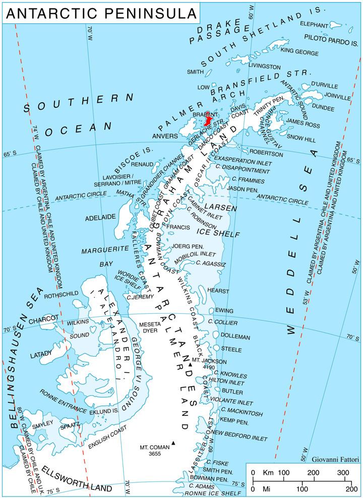 | ||
Lecointe Island is an elongated island, 7.27 km (4.52 mi) long between Cape Kaiser and Hvarchil Point, 2.2 km (1.4 mi) wide and 700 m (2,300 ft) high, separated from the east coast of Brabant Island by Pampa Passage, in the Palmer Archipelago, Antarctica.
Contents
Map of Lecointe Island, Antarctica
The island was first roughly surveyed by the Belgian Antarctic Expedition, 1897–99, which gave the name Cape Kaiser to its northern extremity. The island was surveyed and photographed by several British expeditions, 1955–58, and was named by them for Georges Lecointe, second-in-command and surveyor of the Belgian expedition which was responsible for the first survey of Gerlache Strait.
It is also known as Isla Kaiser and Isla Alice.
Maps
References
Lecointe Island Wikipedia(Text) CC BY-SA