
 | ||
Podem Peak (Bulgarian: връх Подем, ‘Vrah Podem’ \'vr&h po-'dem) is the ice-covered peak of elevation 800 m in the southeast part of Basarbovo Ridge in Stribog Mountains on Brabant Island in the Palmer Archipelago, Antarctica. It has steep and partly ice-free south slopes, and surmounts Malpighi Glacier to the southwest and Svetovrachene Glacier to the northeast.
Contents
The peak is named after the settlement of Podem in Northern Bulgaria.
Location
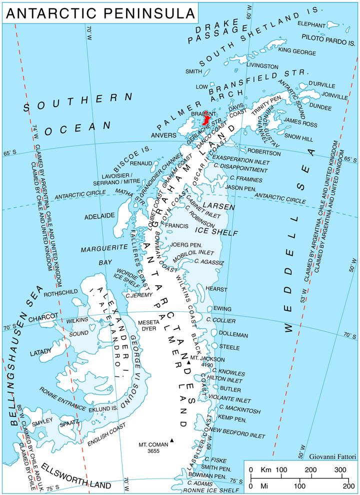
Podem Peak is located at 64°16′37″S 62°12′22″W, which is 3.23 km southeast of Mediolana Peak, 4.54 km southwest of Einthoven Hill, and 2.7 km west-northwest of Bov Point formed by an offshoot of the peak. British mapping in 1980 and 2008.
Maps
References
Podem Peak Wikipedia(Text) CC BY-SA