
 | ||
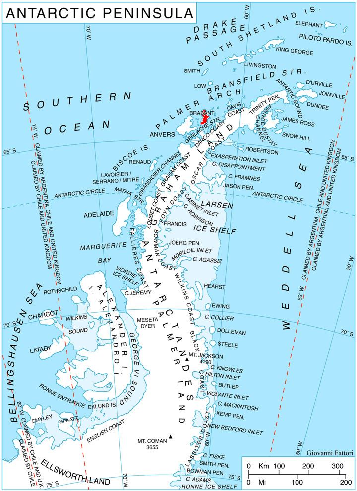
Momino Point (Bulgarian: нос Момино, ‘Nos Momino’ \'nos 'mo-mi-no) is the ice-covered point on the south side of the entrance to Kayak Bay on the east coast of Brabant Island in the Palmer Archipelago, Antarctica.
Contents
The point is named after the settlements of Momino in Northeastern and Southern Bulgaria.
Location
Momino Point is located at 64°18′46″S 62°10′56″W, which is 3.35 km south-southwest of Bov Point, 5.15 km southwest of Lecointe Island, 2.15 km northwest of Pampa Island and 5.7 km north by east of Pinel Point. British mapping in 1980 and 2008.
Maps
References
Momino Point Wikipedia(Text) CC BY-SA