
 | ||
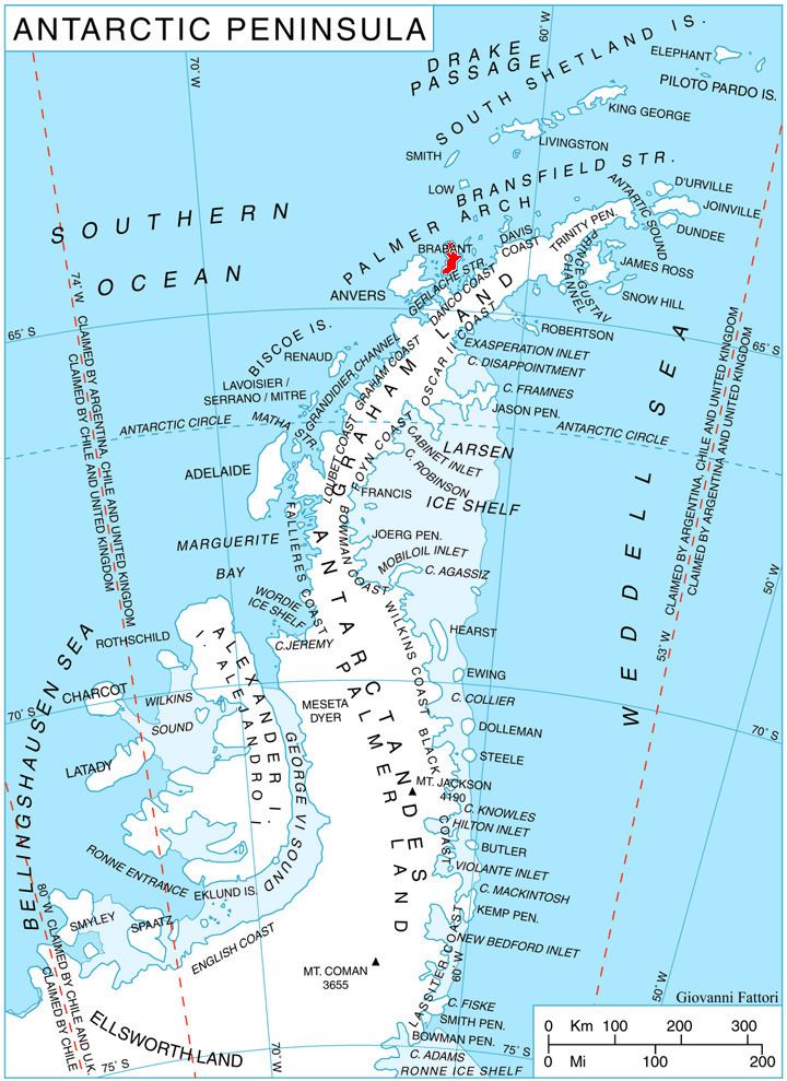
Kayak Bay (64°18′S 62°13′W) is a bay, 1.5 nautical miles (3 km) wide, on the inner (west) side of Pampa Passage, indenting the east coast of Brabant Island in the Palmer Archipelago in Antarctica north of Momino Point and south of Bov Point. Malpighi Glacier and Mackenzie Glacier flow into the bay.
The feature was roughly mapped in 1898 by the Belgian Antarctic Expedition. It was mapped in greater detail by Argentine expeditions from 1947–48 onward and included as part of "Bahia Pampa" (now Pampa Passage). This bay was so named by the UK Antarctic Place-Names Committee in 1986 in reference to the sea canoes of the British Joint Services Expedition that passed through the bay on a circumnavigation of Brabant Island in February 1985.
Maps
References
Kayak Bay Wikipedia(Text) CC BY-SA