
Sovereign state United Kingdom Area 233.6 km² | Area rank 157th | |
 | ||
University Tresham College of Further and Higher Education Points of interest Wicksteed Park, Boughton House, Rushton Triangular Lodge, Manor House Museum, Rockingham Road Pleasure | ||
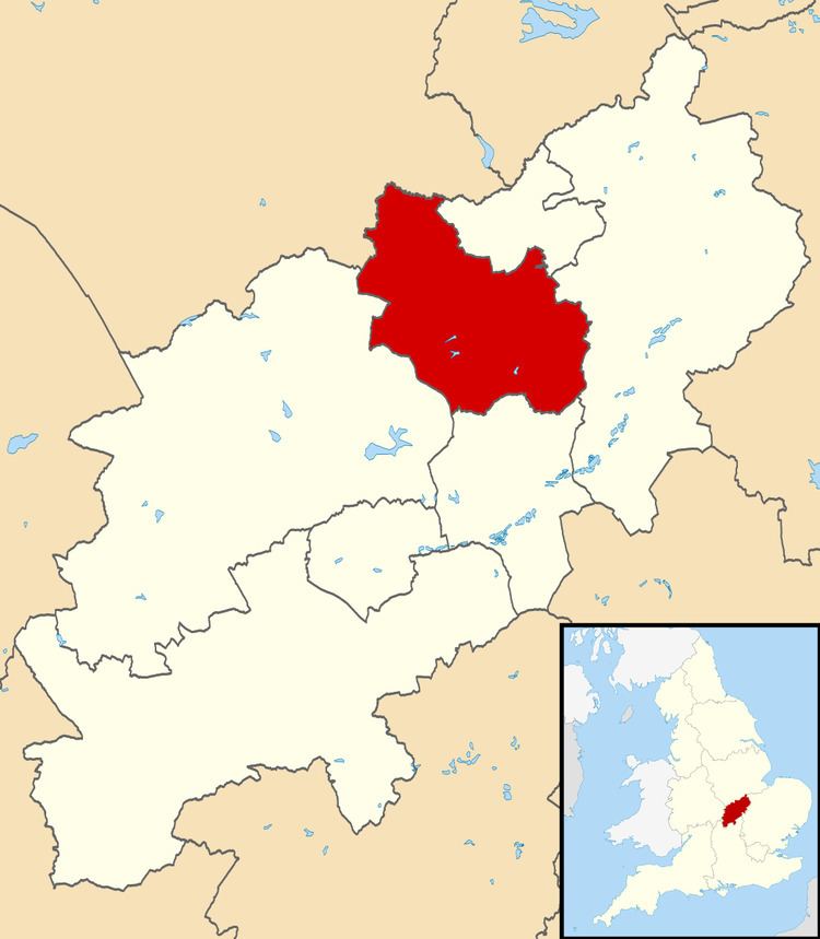
Kettering is a local government district and borough in Northamptonshire, England. It is named after its main town Kettering where the council is based. It borders onto the District of Harborough in the neighbouring county of Leicestershire, the Borough of Corby, the District of East Northamptonshire, the District of Daventry and the Borough of Wellingborough.
Contents
Map of Kettering District, UK
Settlements and parishes
Other than Kettering itself, the borough includes:
Local elections
The last local elections for Kettering Borough Council were held in May 2011. The Conservatives were the overall winner, securing 26 out of the 36 contested seats and obtaining overall control.Their numbers subsequently reduced by one when a councillor defected to UKIP in 2012.
References
Borough of Kettering Wikipedia(Text) CC BY-SA