
Population 753 (2011) Sovereign state United Kingdom Local time Sunday 11:35 PM UK parliament constituency Kettering | OS grid reference SP8188 Dialling code 01536 | |
 | ||
Weather 6°C, Wind SE at 6 km/h, 92% Humidity | ||
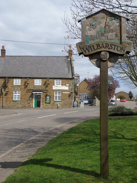
Wilbarston is a village and civil parish in the English county of Northamptonshire in the Welland valley. It is administered as part of the borough of Kettering and is five miles east of the Leicestershire town of Market Harborough, via the A427. At the time of the 2001 census, the parish's population was 767 people, including Pipewell but reducing slightly to 753 at the 2011 Census.
Map of Wilbarston, Market Harborough, UK
It has no secondary schools, but one primary school - Wilbarston C of E Primary School - that dates back to 1845. It was built with the intention of serving seven villages: Wilbarston, Stoke Albany, Dingley, Weston by Welland, Sutton Bassett, Ashley and Brampton Ash.
References
Wilbarston Wikipedia(Text) CC BY-SA