
OS grid reference SP8379 Sovereign state United Kingdom | Civil parish Thorpe Malsor Local time Friday 4:06 AM | |
 | ||
Population 144 (2001 census)145 (2011 census) Weather 12°C, Wind S at 13 km/h, 76% Humidity | ||
Thorpe Malsor is a village and civil parish 2 miles (3 km) west of Kettering. The population at the 2011 Census was 145.
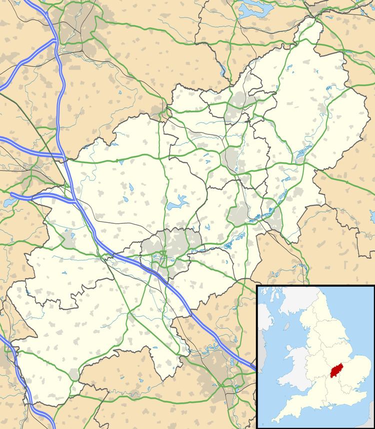
Map of Thorpe Malsor, Kettering, UK
The Church of England parish church of All Saints was built late in the 13th and early in the 14th centuries. In 1877 the Gothic Revival architect C.C. Rolfe restored the church, with Harry Hems of Exeter undertaking the carving. All Saints parish is now part of a single benefice with the parishes of Broughton, Cransley and Loddington.
The village well in the middle of the main street was sunk in 1589. Thorpe Malsor Hall is a Jacobean house that was refenestrated in the 18th century and enlarged in 1817.
References
Thorpe Malsor Wikipedia(Text) CC BY-SA