
Sovereign state United Kingdom Admin HQ Basildon Government body Basildon Borough Council | Constituent country England Area 110 km² | |
 | ||
Status Non-metropolitan district, Borough Points of interest Barleylands Farm Museum, Norsey Wood, Mill Meadows - Billericay, Gloucester Park - Basildon, Cater Museum | ||
The Borough of Basildon is a local government district in south Essex in the East of England, centred on the town of Basildon. The district was formed under the Local Government Act 1972 on 1 April 1974 from the former area of Basildon Urban District and the part of Thurrock Urban District that was within the Basildon New Town. The population of the district as of 2010 is about 172,000. The council made an application for borough status in February 2010 and this was given approval that year, with Cllr Mo Larkin becoming the first mayor in October. The local authority is Basildon Borough Council.
Contents
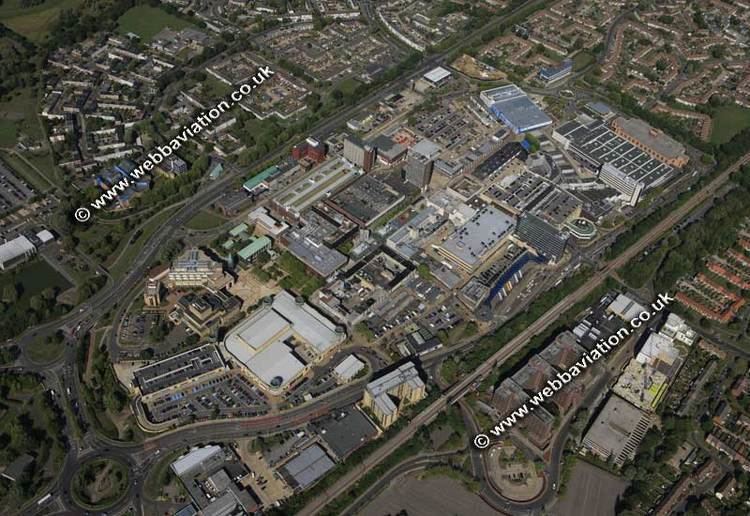
- Map of Basildon District UK
- Governance
- Parish and town councils
- Boundaries
- Geography
- List of settlements
- Regeneration plans
- Transport
- References
Map of Basildon District, UK
Governance
Elections to Basildon Borough Council are held in three out of every four years, with one third of the 42 seats on the council being elected at each election. Both the Conservative and Labour parties have controlled the council at different times, as well as periods when no party has had a majority. The Conservative party has controlled the council since winning a majority at the 2003 election. The council is currently composed of the following councillors:
Parish and town councils
There are seven town and parish councils at present. They cover one quarter of the district and are:
Boundaries
To the north it borders the Borough of Chelmsford, to the east it borders the District of Rochford district, to the south east the Borough of Castle Point and to the west it borders the Borough of Brentwood. To the south the district has a boundary with the unitary authority of Thurrock.
Geography
The district has three main population centres. The towns of Billericay and Wickford are two of the areas which both have surrounding villages. Occasional proposals have been made to move Billericay and Wickford to other districts, leaving Basildon more focused on the new town.
The other, largest, population centre is commonly referred to as Basildon and comprises three original settlements: Laindon, Basildon and Pitsea (from west to east) which have merged with other minor settlements to form the New Town, which is a continuous urban area.
The remaining land, approximately half of the district is designated as green belt, has several sites of special scientific interest. Two are around Billericay and the remainder are to the south of Basildon New Town. There are also wildlife areas of varying sizes around most of the district, except in the East.
The source of the River Crouch is in the district. The river runs across the district, through Wickford before it leaves the district.
The district is linked well by road and rail with significant surrounding destinations, including London.
In the west of the Basildon district, the Dunton Plotlands is an area of small plots of land used as weekend cottages or smallholdings inhabited during the mid twentieth century.
List of settlements
It contains the towns of:
Villages within the district are:
Regeneration plans
Basildon District is a prosperous business location and has in recent years seen significant inward investment and jobs growth. Throughout Basildon District there are major developments planned estimated to total nearly £2 billion. These include:
Coordinating and promoting this programme of investment is the Basildon Renaissance Partnership which was set up in 2003 by Basildon District Council. Its partners also include the East Of England Development Agency, English Partnerships, Essex County Council, and the Thames Gateway South Essex Partnership with support from the Department for Communities and Local Government.
Transport
The district is connected to London and Southend via two train operators: c2c and Abellio Greater Anglia. The route operated by c2c is the London, Tilbury and Southend Railway. Three principal stations of the railway line are in the district: Basildon railway station, Laindon railway station and Pitsea railway station
The former Great Eastern service (now Abellio Greater Anglia) operates on the Shenfield to Southend Line. Trains stop at Billericay and Wickford railway station. At Wickford, the Crouch Valley Line diverges from the Shenfield to Southend line.
Three primary routes are within the district. The A127 goes through its centre, the A13 goes through the south-east at Pitsea. Both these primary routes connect the district with Greater London and Southend-on-Sea. At Bowers Gifford at a terminus of the A13's primary status there is a junction with the beginning of primary status for the A130 with runs along a small section of the western boundary of the district. The A130 connects the district with Chelmsford. The A129 is the major road link between Billericay and Wickford, which are linked via A-Roads to the urban area of Basildon, Pitsea and Laindon by the A176 and the A132, respectively.