
Constituent country England Area 169.5 km² | ||
 | ||
Status Non-metropolitan district Points of interest | ||
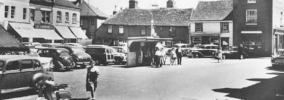
Rochford is a local government district in Essex, England. It is named for one of its main settlements, Rochford, though the major centre of population in the district is the town of Rayleigh. Other places in the district include Hockley, Ashingdon, Great Wakering, Canewdon and Hullbridge.
Contents
- Map of Rochford District UK
- Energy and environment policy
- List of places in Rochford District
- References
Map of Rochford District, UK
It was formed on 1 April 1974 by the merger of the Rayleigh Urban District and the Rochford Rural District.
Rochford District is twinned with the German town of Haltern.
Energy and environment policy
In October 2009 the Rochford District was commended at a national level for its outstanding progress in boosting domestic recycling rates from "below 20 per cent to nearly 70 per cent", in the National Recycling Awards. Rochford District was nominated in the Local Authority Target Success category, and beat four other short-listed local authorities to claim the award.
In May 2006 a report commissioned by British Gas showed that housing in the district of Rochford produced the 9th highest average carbon emissions in the country at 7,219 kg of carbon dioxide per dwelling.