
OS grid reference TQ7588 Post town BASILDON Local time Friday 11:20 AM | Sovereign state United Kingdom Postcode district SS13 Civil parish North Benfleet | |
 | ||
Weather 7°C, Wind SE at 19 km/h, 88% Humidity | ||
Bowers Gifford is a small village in southern Essex, England. It is located east of Basildon, between Pitsea and Thundersley. Pillboxes in the surrounding fields testify to its wartime role in defending the Thames Estuary which it overlooks.
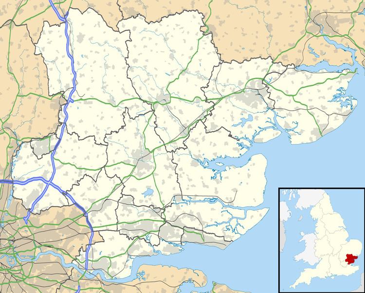
Map of Bowers Gifford, UK
The place-name 'Bowers Gifford' is first attested in the Domesday Book of 1086, where it appears as Bura, meaning 'cottages', from the Old English bur, in modern English bower. The 'Gifford' element relates to its lords of the manor: in 1243 the land was held by William Giffard.
The most historic surviving building is the fourteenth-century St Margaret's church.
References
Bowers Gifford Wikipedia(Text) CC BY-SA