
PIN 712222 Elevation 15 m | Time zone IST (UTC+5:30) Telephone code 910332632.... Local time Tuesday 8:05 PM | |
 | ||
Weather 24°C, Wind N at 0 km/h, 47% Humidity Neighborhoods Chawk Prantik Society, Sitaram Bagan, Gobindanagar | ||
Baidyabati is a city and a municipality in Hooghly district in the state of West Bengal, India. It is under Serampore Town police station and Srirampore subdivision. Now it is a part of the area covered by Kolkata Metropolitan Development Authority.
Contents
Map of Baidyabati, West Bengal
Demographics
As per 2011 Census of India, Baidyabati had a total population of 121,110 of which 62,885 (52%) were males and 58,625 (48%) were females. Population below 6 years was 9,017. The total number of literates in Baidyabati was 98,928 (88.26% of the population over 6 years).
The following Municipalities and Census Towns in Hooghly district were part of Kolkata Urban Agglomeration in 2011 census: Bansberia (M), Hugli-Chinsurah (M), Bara Khejuria (Out Growth), Shankhanagar (CT), Amodghata (CT), Chak Bansberia (CT), Naldanga (CT), Kodalia (CT), Kulihanda (CT), Simla (CT), Dharmapur (CT), Bhadreswar (M), Champdani (M), Chandannagar (M Corp.), Baidyabati (M), Serampore (M), Rishra (M), Rishra (CT), Bamunari (CT), Dakshin Rajyadharpur (CT), Nabagram Colony (CT), Konnagar (M), Uttarpara Kotrung (M), Raghunathpur (PS-Dankuni) (CT), Kanaipur (CT) and Keota (CT).
As of 2001 India census, Baidyabati had a population of 108,231. Males constitute 52% of the population and females 48%. Baidyabati has an average literacy rate of 79%, higher than the national average of 59.5%; with 54% of the males and 46% of females literate. 8% of the population is under 6 years of age.
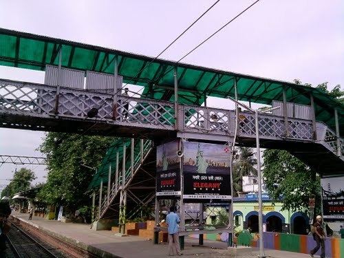
Transport
The SH 6/ GT Road passes through Baidyabati.
SH 13/ Delhi Road passes through Baidyabati.