
Vehicle registration WB Local time Wednesday 7:41 PM | Time zone IST (UTC+5:30) Website wb.gov.in Population 6,266 (2011) | |
 | ||
Weather 25°C, Wind E at 0 km/h, 45% Humidity | ||
Bamunari is a census town Sreerampur Uttarpara CD Block in Hooghly district in the state of West Bengal, India. It is under Dankuni police station in Srirampore subdivision.
Contents
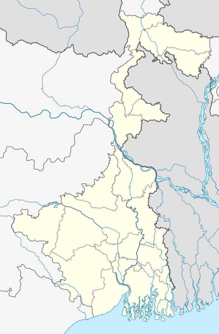
Map of Bamunari, West Bengal 712250
Geography
Bamunari is located at 22°40′28″N 88°18′59″E Adjoining to National Highway -2 connecting Kolkatta and Delhi.
Demographics
As per 2011 Census of India Bamunari had a total population of 6,266 of which 3,227 (52%) were males and 3,039 (48%) were females. Population below 6 years was 580. The total number of literates in Bamunari was 4,997 (87.88 % of the population over 6 years).
The following Municipalities and Census Towns in Hooghly district were part of Kolkata Urban Agglomeration in 2011 census: Bansberia (M), Hugli-Chinsurah (M), Bara Khejuria (Out Growth), Shankhanagar (CT), Amodghata (CT), Chak Bansberia (CT), Naldanga (CT), Kodalia (CT), Kulihanda (CT), Simla (CT), Dharmapur (CT), Bhadreswar (M), Champdani (M), Chandannagar (M Corp.), Baidyabati (M), Serampore (M), Rishra (M), Rishra (CT), Bamunari (CT), Dakshin Rajyadharpur (CT), Nabagram Colony (CT), Konnagar (M), Uttarpara Kotrung (M), Raghunathpur (PS-Dankuni) (CT), Kanaipur (CT) and Keota (CT).
As of 2001 India census, Bamunari had a population of 6,913. Males constitute 52% of the population and females 48%. Bamunari has an average literacy rate of 72%, higher than the national average of 59.5%; with 55% of the males and 45% of females literate. 11% of the population is under 6 years of age.