
PIN 712124 Population 101,477 (2011) | Time zone IST (UTC+5:30) Elevation 2 m Local time Monday 12:12 PM | |
 | ||
Weather 31°C, Wind N at 0 km/h, 34% Humidity University | ||
Tetultala maa jagadhatri gourhati bhadreswar hooghly
Bhadreswar /bəˈdrɛswər/ is a town and a municipality in Hooghly district in the state of West Bengal, India. It is a police station in Chandannagar subdivision. It is a part of the area covered by Kolkata Metropolitan Development Authority.
Contents
- Tetultala maa jagadhatri gourhati bhadreswar hooghly
- Map of Bhadreswar West Bengal
- Geography
- Demographics
- Economy
- Transport
- Tourist Spot
- References
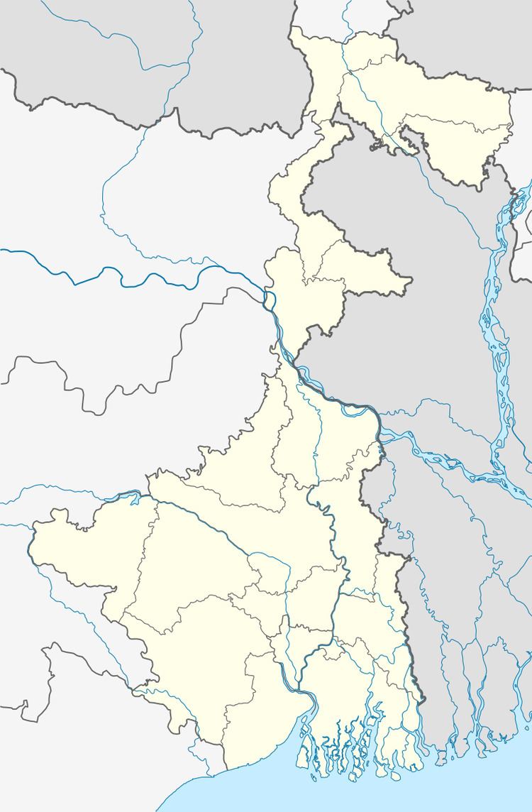
Map of Bhadreswar, West Bengal
Geography
Bhadreswar is located at 22.82°N 88.35°E / 22.82; 88.35. It has an average elevation of 2 metres (6 feet).It is situated by the River Hooghly.It is one of the beautiful places in Hooghly district.
Demographics
As per 2011 Census of India Bhadreswar had a total population of 101,477 of which 53,330 (53%) were males and 48,147 (47%) were females. Population below 6 years was 9,580. The total number of literates in Bhadreswar was 79,498 (86.51% of the population over 6 years).
The following Municipalities and Census Towns in Hooghly district were part of Kolkata Urban Agglomeration in 2011 census: Bansberia (M), Hugli-Chinsurah (M), Bara Khejuria (Out Growth), Shankhanagar (CT), Amodghata (CT), Chak Bansberia (CT), Naldanga (CT), Kodalia (CT), Kulihanda (CT), Simla (CT), Dharmapur (CT), Bhadreswar (M), Champdani (M), Chandannagar (M Corp.), Baidyabati (M), Serampore (M), Rishra (M), Rishra (CT), Bamunari (CT), Dakshin Rajyadharpur (CT), Nabagram Colony (CT), Konnagar (M), Uttarpara Kotrung (M), Raghunathpur (PS-Dankuni) (CT), Kanaipur (CT) and Keota (CT).
As of 2001 India census, Bhadreswar had a population of 105,944. Males constitute 55% of the population and females 45%. Bhadreswar has an average literacy rate of 74%, higher than the national average of 59.5%; with 59% of the males and 41% of the females literate. 10% of the population is under 6 years of age.
Economy
Jute mills drew in a large labour force from the neighbouring states of Bihar and Orissa, as well as eastern Uttar Pradesh, quite often forming an overwhelming majority of the population in the area, living in shanty towns and bustees dotting the mill area. The proportion of migrants in the population was 80% in Bhadreswar.
Transport
The State Highway 6 (West Bengal)/ Grand Trunk Road passes through Bhadreswar.
Tourist Spot
The Banabithi Park located near the DVC channel, in Natunpara, Bhardeswar.
Tourist Spot
The Banabithi Park located near the DVC channel, in Natunpara, Bhardeswar.
Tourist Spot
The Banabithi Park located near the DVC channel, in Natunpara, Bhardeswar.
Tourist Spot
The Banabithi Park located near the DVC channel, in Natunpara, Bhardeswar.