
Vehicle registration WB Local time Wednesday 4:08 AM | Time zone IST (UTC+5:30) Website wb.gov.in Population 7,910 (2011) | |
 | ||
Weather 18°C, Wind W at 5 km/h, 74% Humidity | ||
Amodghata is a census town in Chinsurah Mogra CD Block in Hooghly district in the state of West Bengal, India. It is under Mogra police station in Chinsurah subdivision.
Contents
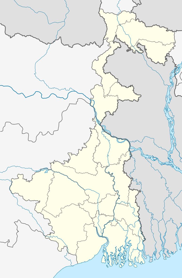
Map of Amodghata, West Bengal
Geography
Amodghata is located at 22.99°N 88.39°E / 22.99; 88.39.
Demographics
As per 2011 Census of India Amodghata had a total population of 7,910 of which 3,909 (49%) were males and 4,001 (51%) were females. Population below 6 years was 627. The total number of literates in Amodghata was 6,459 (88.69% of the population over 6 years).
The following Municipalities and Census Towns in Hooghly district were part of Kolkata Urban Agglomeration in 2011 census: Bansberia (M), Hugli-Chinsurah (M), Bara Khejuria (Out Growth), Shankhanagar (CT), Amodghata (CT), Chak Bansberia (CT), Naldanga (CT), Kodalia (CT), Kulihanda (CT), Simla (CT), Dharmapur (CT), Bhadreswar (M), Champdani (M), Chandannagar (M Corp.), Baidyabati (M), Serampore (M), Rishra (M), Rishra (CT), Bamunari (CT), Dakshin Rajyadharpur (CT), Nabagram Colony (CT), Konnagar (M), Uttarpara Kotrung (M), Raghunathpur (PS-Dankuni) (CT), Kanaipur (CT) and Keota (CT).
As of 2001 India census, Amodghata had a population of 6,864. Males constitute 51% of the population and females 49%. Amodghata has an average literacy rate of 78%, higher than the national average of 59.5%; with 54% of the males and 46% of females literate. 9% of the population is under 6 years of age.