
Website Official website Literacy 70.9% | Major highways National Highway 233B Area 4,054 km² Local time Saturday 12:43 PM Major highway National Highway 233B | |
 | ||
Weather 30°C, Wind W at 10 km/h, 29% Humidity Points of interest KRISHNA BOTANICAL GARDEN, Panchdev Mandir, Sammo Mata Mandir Colleges and Universities Al Jamiatul Ashrafia, National Shibli College, Madrasatul Islah | ||
Abu salem born 1968 azamgarh district in uttar pradesh india occupatiom underworld don
Azamgarh district is one of the three districts of Azamgarh division in the Indian state of Uttar Pradesh.
Contents
- Abu salem born 1968 azamgarh district in uttar pradesh india occupatiom underworld don
- Map of Azamgarh Uttar Pradesh
- Etymology
- History
- Colonial era
- Geography
- Colleges
- Important places in Azamgarh district
- Economy
- Demographics
- Languages
- Divisions
- Local media
- Notable people
- References
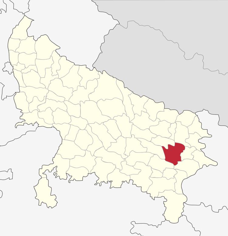
Map of Azamgarh, Uttar Pradesh
Etymology
The district is named after its headquarters town, Azamgarh. Azam, son of Vikramajit, founded the town in 1665. Vikramajit a descendant of Gautam Rajputs of Mehnagar in pargana Nizamabad had embraced the faith of Islam. He had two sons, namely, Azam and Azmat. It is also known as land of the sage Durvasa whose ashram was located in Phulpur sub-district, near the confluence of Tons and Majhuee river, 6 kilometres (4 mi) north from the Phulpur sub-district headquarters.
History
Towards the end of the 16th century, a Gautam Rajput from Azamgarh district was assimilated into the Mughal court at Delhi, where he had gone in search of greater influence. His mission was a success, with the royal court eventually awarding him 22 parganas in the Azamgarh region that marked the establishment of a family line which culminated in his descendants becoming rajas of the area. This was a typical route whereby relatively obscure lineages rose to prominence.
Colonial era
Both Hindu and Muslim landowners (known as Rautaras) of Azamgarh aided the Sepoy Mutiny against the British in 1857. On 3 June 1857 the 17th Regiment of Native Infantry mutinied at Azamgarh, murdered some of their officers, and carried off the government treasure to Faizabad. The district became a centre of the fighting between the Gurkhas and the rebels, and was brought under control in October 1858 by Colonel Kelly. The most notable rebels were Late. Janab Lal Mohammed Chivtahvin. Later, many of the local land owners were crushed by the British. Later, residents of Azamgarh participated in various national movements including the Civil Disobedience Movement and the Quit India Movement in 1942. The historian, social reformer, nationalist Mahapandit Rahul Sankrityayan was born in Kanaila village in this district.
Geography
Azamgarh district has an area of 4,054 square kilometres (1,565 sq mi). The district lies between the Ganges and the Ghagahara. Azamgarh district is surrounded by the districts of Mau in the east, Gorakhpur in the north, Ghazipur in the south-east, Jaunpur in the south-west, Sultanpur in the west and Ambedkar Nagar in the north-west.
Azamgarh district is further divided into 7 sub-districts, and 22 development blocks. There are 4,106 villages (3,792 inhabited and 314 uninhabited) in the district.
Colleges
Important places in Azamgarh district
According to the district's official website, the nine important places in Azamgarh district are:-
Economy
In 2006 the Ministry of Panchayati Raj named Azamgarh one of the country's 250 most backward districts (out of a total of 640). It is one of the 34 districts in Uttar Pradesh currently receiving funds from the Backward Regions Grant Fund Programme (BRGF).
Demographics
According to the 2011 census Azamgarh district has a population of 4,613,913, This gives it a ranking of 30th in India (out of a total of 640). The district has a population density of 1,139 inhabitants per square kilometre (2,950/sq mi) . Its population growth rate over the decade 2001-2011 was 17.11%. Azamgarh has a sex ratio of 1019 females for every 1000 males, and a literacy rate of 72.69%.
Azamgarh district's total population was 3,939,916 as per 2001 census with population density of 972/km². The population consists of 393,401 urban and 4,220,512 rural; 2,137,805 females and 2,082,707 males. The literacy rate is 70.93%.
Languages
Vernaculars spoken in Azamgarh include Hindi, Avadhi, Urdu, English, and Bhojpuri.
Divisions
Gambhirban is a village in Rani Ki Sarai block. The village is dominated by Raghuvanshi and Dikshit Rajpoots. It is situated near by Sankrityayan (Hindi/ scholar) village Kanaila Chakrapanipur. Gambhirban Village is one of the biggest villages in Azamgarh. It is near Baraila Taal, a large pond. A state hospital PGI is nearby. It is 10 km from Azamgarh city.
Local media
Mostly all major English, Hindi and Urdu dailies including Times of India, Hindustan Times, The Hindu, Dainik Jagran, Amarujala, Hindustan, Rashtree Sahara, Inquilab, Hausla News available in Azamgarh. Hindi and Urdu dailies also have their bureaus in the city. Almost all big Hindi TV news channel have stringers in the city.
Notable people
The following notable people are from Azamgarh district
NB This list excludes those from Azamgarh itself which are listed in that article