Elevation 81 m Local time Friday 3:58 AM | Time zone IST (UTC+5:30) Population 60,000 (2016) | |
 | ||
Weather 24°C, Wind SE at 0 km/h, 57% Humidity | ||
Phulpur is a town and a nagar panchayat in Azamgarh district in the Indian state of Uttar Pradesh.
Contents
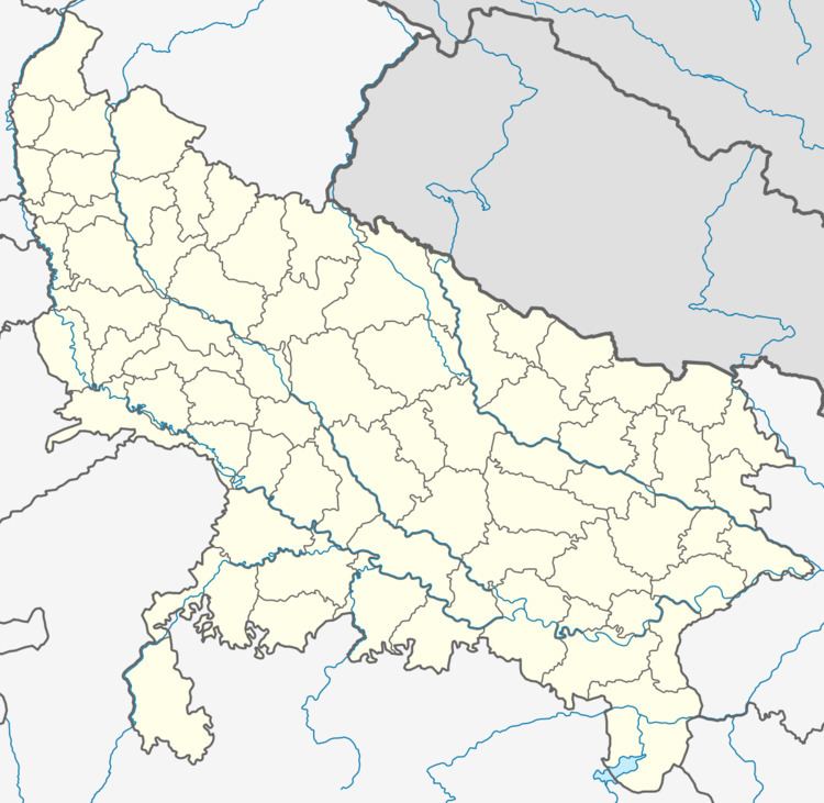
Map of Phulpur, Uttar Pradesh 221206
Geography
Phoolpur is located at 26.079774°N 82.314093°E / 26.079774; 82.314093. It has an average elevation of 81 metres (265 feet).this is famous place of azamgarh it is also famous for their mircha mandi (Chilli Market) and mangal bazzar .ghas mandi and coal mandi.
It is Tahsil in Azamgarh district. Ambari,Bhedia,Palthi,didarganj,belwana,mahul,ahraula Pawai,are villages.
Demographics
As of 2001 India census, Phulpur had a population of 8,310. Males constitute 51% of the population and females 49%. Phulpur has an average literacy rate of 63%, higher than the national average of 59.5%: male literacy is 69%, and female literacy is 57%. In Phulpur, 18% of the population is under 6 years of age.
