
Country India Vehicle registration UP Elevation 72 m Local time Tuesday 2:22 PM | Time zone IST (UTC+5:30) Website up.gov.in Population 12,096 (2001) | |
 | ||
Weather 36°C, Wind NE at 2 km/h, 36% Humidity | ||
Nizamabad is a town and a nagar panchayat in Azamgarh district in the Indian state of Uttar Pradesh. The city is well known for its black pottery.
Contents
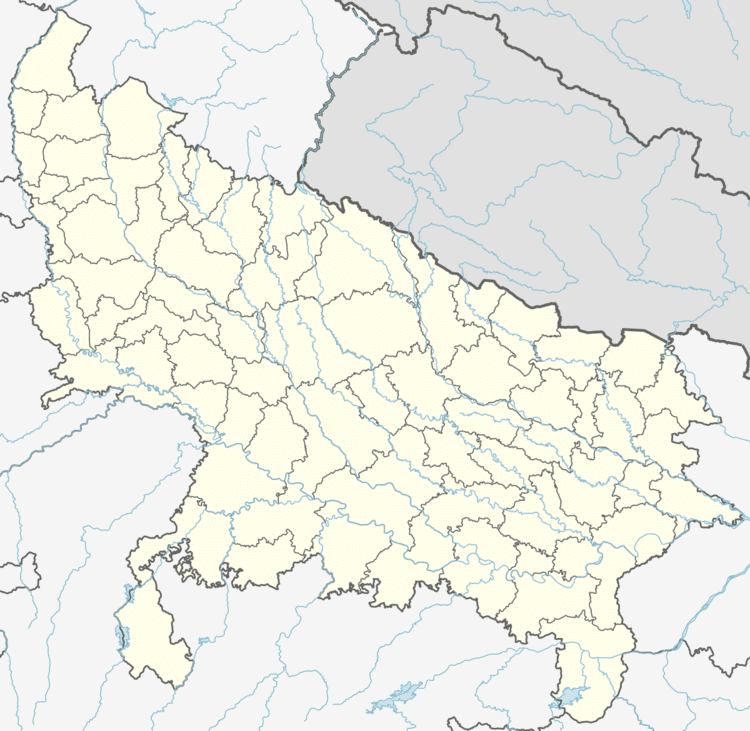
Map of Nizamabad, Uttar Pradesh
Geography
Nizamabad is located at 26.05°N 83.06°E / 26.05; 83.06. It has an average elevation of 72 metres (236 feet).
Demographics
As of 2001 India census, Nizamabad had a population of 12,096. Males constitute 52% of the population and females 48%. Nizamabad has an average literacy rate of 60%, higher than the national average of 59.5%: male literacy is 68%, and female literacy is 51%. In Nizamabad, 20% of the population is under 6 years of age. The place is having one of the prominent gurdwaras of India where Guru Nanak had visited and left his sandal here and hence the gurdwara is called Gurdwara Guru Nanak Charan Paduka.It is present on Ballia-Shahganj broad gauge.
Economy
The black clay pottery of Nizamabad is unique type of clay pottery known for its dark shiny body with engraved silver patterns. It was registered for Geographical Indication tag in December 2015.