
Country India Elevation 61 m Local time Saturday 7:53 AM | Time zone IST (UTC+5:30) Population 13,319 (2001) | |
 | ||
Weather 18°C, Wind SW at 3 km/h, 62% Humidity | ||
Mehnagar is a town and a nagar panchayat in Azamgarh district in the Indian state of Uttar Pradesh.
Contents
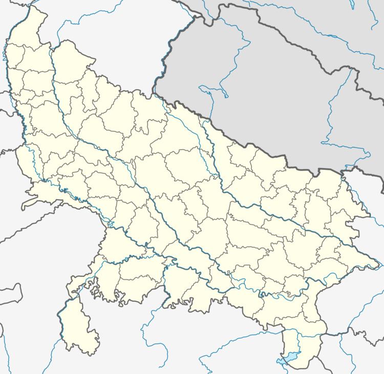
Map of Mehnagar, Uttar Pradesh 276204
Geography
Mehnagar is located at 25.88°N 83.12°E / 25.88; 83.12. It has an average elevation of 61 metres (200 feet).
Demographics
As of 2001 India census, Mehnagar had a population of 13,319. Males constitute 52% of the population and females 48%. Mehnagar has an average literacy rate of 63%, higher than the national average of 59.5%: male literacy is 72%, and female literacy is 53%. In Mehnagar, 18% of the population is under 6 years of age.
History
Mehnagar is a historic place situated 20 km from Azamgarh, in Uttar Pradesh. An ancient fort built by King Haribans and a huge pond is the main draw. An annual religious fair held on the ponds known as Madilaha, 3 km away, is attended by large number of people from far and near.