
Length 2.96 km | East end: AR 23 East end: AR 219 in Ozark Constructed 1 April 1926 | |
 | ||
Existed: April 1, 1926 – present Counties Sebastian County, Arkansas, Franklin County, Arkansas | ||
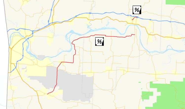
Highway 96 (AR 96, Ark. 96, and Hwy. 96) is a designation for two east–west state highways in the Arkansas River Valley. One route of 38.2 miles (61.5 km) begins at Highway 10 in Greenwood and runs north and east to Highway 23 south of Ozark. A second route of 1.84 miles (2.96 km) in Ozark begins at Highway 23 and runs east to Highway 219. Both routes are maintained by the Arkansas State Highway and Transportation Department (AHTD).
Contents
Map of AR-96, Arkansas, USA
Route description
The southern portion of AR 96 begins at the Oklahoma state line west of Hartford. It runs through Hartford and east to Mansfield, where it ends at U.S. Route 71.
AR 96 begins at AR 10 in Greenwood. The route runs north through Fort Chaffee and crosses AR 22 and AR 255. It continues north then east to cross AR 41 and eventually terminate at AR 23 in Franklin County.
History
Highway 96 was created during the 1926 Arkansas state highway numbering as a connector route between State Road 10 in Greenwood and State Road 22 west of Charleston.
The segment in Ozark was known as Highway 309 until September 25, 1991, when the route was redesignated as Highway 96 due to confusion with another nearby segment of Highway 309.