
Length 365.9 km | Constructed 1926 | |
 | ||
Existed: April 1, 1926 – present East end: CR S449 / CR W1020 at Golden Lake Counties Boone County, Arkansas, Marion County, Arkansas | ||
Highway 14 (AR 14, Ark. 14, and Hwy. 14) is an east–west state highway in north Arkansas. The route of 227.35 miles (365.88 km) begins at Boat Dock Road near Table Rock Lake and runs east to Mississippi County Route W1020 (CR W1020) at Golden Lake. The highway's general alignment between the western terminus and Marked Tree closely follows the original routing as established in the initial 1926 Arkansas state highway numbering plan. The route from Highway 140 in Lepanto east across Interstate 55 to Golden Lake is a later extension.
Contents
- Map of AR 14 Arkansas USA
- Route description
- History
- Major intersections
- Spur route
- Alternate route
- References
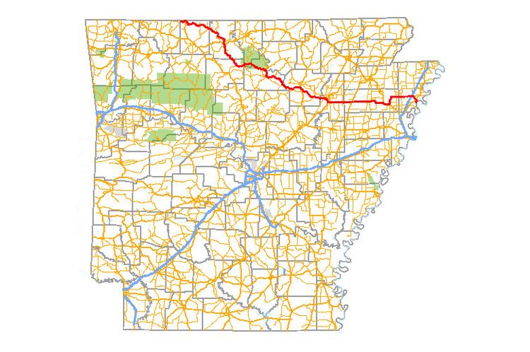
Map of AR-14, Arkansas, USA
Route description
After Marked Tree, AR 14 meets with US 63 for a stretch, before heading to Harrisburg, where it crosses AR 1. Highway 14 then goes on to Waldenburg, where it meets US 49 and AR 214, Newport (crossing US 67) and Batesville (AR 25). The route then passes through Buffalo River State Park on its way to meeting US 412 in Yellville. Arkansas Highway 14 continues to AR 7 and Lead Hill before merging onto old US 65 (now AR 365) at Omaha. This leads to the end of the route, when AR 14 becomes Boat Dock Road and ends in a cul-de-sac at Table Rock Lake.
Arkansas Highway 14 travels north to Marie where it adjuncts AR 181. Interstate 55 meets AR 14 outside of Marie as Exit 41. The road continues to Lepanto, where it meets AR 135 and becomes concurrent with AR 140 until Marked Tree.
History
The route was first designated in 1926 in the original state highway numbering. State Road 14 ran from Omaha east to Marked Tree in Poinsett County.
In 1978, Highway 14 was rerouted south of Batesville. The mainline Highway 14 was rerouted over existing Highway 25 and supplanted Highway 14A. The former Highway 14 mainline route was redesignated as Highway 230 between Locust Grove and Southside. A short original section of Highway 14 between Southside and Salado, discontinuous after the rerouting, was redesignated Highway 14 Spur.
Major intersections
Mile markers reset at some concurrencies.
Spur route
Highway 14 Spur (AR 14S, Ark. 14S, and Hwy. 14S) is a spur route of 1.34 miles (2.16 km) in Independence County.
The route begins at Highway 14 at Salado and runs west to US 67 and Highway 230 at Southside.
Highway 14S was created on May 26, 1978 during a rerouting of Highway 14 in the vicinity. Mainline Highway 14 ran along present-day Highway 230 and Highway 14S. The main route was shifted to a concurrency with Highway 25, with a redesignation of the former alignment as Highway 230 to the west of US 167 and Highway 14S to the east.
The entire route is in Independence County.
Alternate route
Highway 14 Alternate (AR 14A, Ark. 14A, and Hwy. 14A) is a former alternate route of 1.34 miles (2.16 km) in Independence County.
Highway 14A began at Highway 14 at Salado and ran northeast to Ramsey Hill, terminating at US 167 and Highway 25.
The route was added to the state highway system on June 23, 1965. Highway 14A was supplanted by mainline Highway 14 during a rerouting in 1978.
The entire route is in Independence County.