
Basin countries United States Area 174.4 km² | Primary outflows White River Surface area 43,100 acres (174 km) Max depth 67 m | |
 | ||
Primary inflows Water volume 3,462,000 acre·ft (4.270 km) Shore length1 Flood Pool- 857 miles (1,379 km) Normal Pool- 745 miles (1,199 km) Fish Walleye, Largemouth bass, Bluegill, Smallmouth bass Similar Silver Dollar City, Titanic Museum, Hollywood Wax Museum, The Butterfly Palace, The Track Family Fun Parks Tra | ||
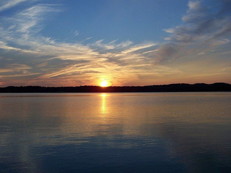
Table Rock Lake is an artificial lake or reservoir in The Ozarks of southwestern Missouri and northwestern Arkansas. The lake is impounded by Table Rock Dam (location 36.595374°N 93.311137°W / 36.595374; -93.311137) constructed in 1954-1958 on the White River by the U.S. Army Corps of Engineers.
Contents
- Map of Table Rock Lake United States
- Showboat branson belle celebrates 20 years
- Lake temperatureEdit
- Lake dataEdit
- Flood controlEdit
- Facilities and State ParkEdit
- References
Map of Table Rock Lake, United States
It is one of the popular draws for the nearby town of Branson, Missouri. There are several commercial marinas along the lake, and Table Rock State Park is located on the east side, both north and south of Table Rock Dam. Downstream from the dam, the Missouri Department of Conservation operates a fish hatchery, which is used to stock trout in Lake Taneycomo. The cold water discharged from the dam creates a trout fishing environment in Lake Taneycomo.
Showboat branson belle celebrates 20 years
Lake temperatureEdit
The lake area temperature varies according to season:
Lake dataEdit
Dam and Outlet Measurements
Dam elevations above mean sea level
Lake elevations above mean sea level
Surface area of lake
Maximum storage capacity
Shoreline length
Other
Power generating data
Flood controlEdit
The original purpose of the reservoir was for flood control on the White River. The dam had been authorized a month earlier under the Flood Control Act of September 3, 1943. The reservoir has a fluctuation of 16 feet (4.9 m). When the reservoir is above the maximum flood pool, excess water goes over the auxiliary overflow spillway at the north end of the dam.
The worst-case scenario of a catastrophic floodwater discharge from Table Rock Lake using the auxiliary floodgates would roughly resemble this:
At elevation 931 Table Rock Lake is at full flood capacity. The ten Tainter gates are opened to accommodate additional lake inflow from the White River Basin including the James River and Beaver Lake discharge.
At elevation 937 Table Rock Lake is 6 feet above flood capacity. The ten Tainter gates are opened wider in an effort to stabilize reservoir rise. Outflow from the Lake under these circumstances will be nearing 200-300 thousand cubic feet per second (CFS).
Between elevations 937 and 942 the dam’s ten Tainter gates will be fully raised letting loose 450 thousand CFS into Lake Taneycomo. This scenario would effectively submerge and destroy the powerhouse, power transmission grid, hatchery, and wreak serious destruction down stream. An illustration of how Table Rock’s ten spillways might appear under these circumstances mimics this: the floodgates will extend up and out from the structure, like eyebrows, shadowing the concrete spillways!
At elevation 942 if reservoir levels are not yet stabilized, the auxiliary floodgates are brought on line, in concert with Table Rock’s fully opened floodgates. This catastrophic protocol releases 1 million CFS of lake waters into Taneycomo and deals dreadful destruction to Branson, Hollister, Point Lookout and possibly the Powersite Dam.
Beyond an elevation 942 there is a danger of water overtopping the concrete dam and breaching the earthen structure, which imminently leads to cataclysmic structural failure and the uncontrolled release of the Table Rock Lake impoundment—nearly 3 million CFS of water.
SOURCE:
Facilities and State ParkEdit
Table Rock State Park (Missouri) provides public access to the lake. Six miles from Branson and located just south of the dam and outlet, facilities include a boat launch and full service marina (including cafe, boat rental and scuba dive shop), campground (including full RV hookups and a yurt), fishing access, swimming access (no beach), picnic area, ampitheater, hiking and mountain bike trails, and dump station.
Area71 is a recreational vehicle (RV) resort, restaurant, and general store on Table Rock Lake in Shell Knob, Missouri. The store and restaurant were completely rebuilt in 2016 with an expanded menu and bait shop. The RV park features views of Table Rock Lake with long term site rental agreements.