
North end: US 165 | Length 20.65 km | |
 | ||
North end: Huff's Island Public Use Area | ||
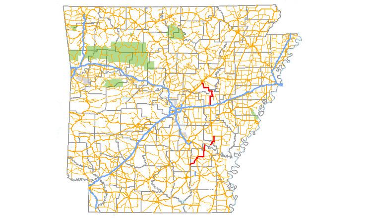
Arkansas Highway 11 (AR 11 and Hwy. 11) is a designation for three state highways in Arkansas. One segment of 36.23 miles (58.31 km) runs from US Route 63 (US 63) at Pansy to Huff Island Public Use Area near Grady. A second segment of 12.83 miles (20.65 km) begins just across the Arkansas River at the eastern terminus of Highway 88 at Reydell and runs north to US 65 west of De Witt. A third route of 37.53 miles (60.40 km) runs from Interstate 40 (I-40) and US 63 in Hazen north to Highway 367 in Searcy.
Contents
- Map of AR 11 Arkansas USA
- Pansy to the Arkansas River
- Reydell to Eldridge Corner
- Hazen to Searcy
- Star City business route
- Former Hazen spur
- History
- Kauffman Road segment
- Major intersections
- References
Map of AR-11, Arkansas, USA
One segment of the original Arkansas Highway 11 from the state highway system's creation in 1926 has been listed on the National Register of Historic Places (NRHP) in Arkansas County.
Pansy to the Arkansas River
AR 11 begins in Cleveland County at US 63 in Pansy and runs east. The continues northeast upon entering Lincoln County, intersecting US 425/AR 45 in Star City. AR 11 has a 0.6 miles (0.97 km) business route in Star City. AR 11 runs east until Fresno, when it turns north and meets US 65 in Grady. After Grady, the route runs north to Huff's Island Public Use Area, where it terminates.
Reydell to Eldridge Corner
The route begins at AR 88 in Jefferson County and runs east. Upon entering Arkansas County, the route is crossed by AR 276. AR 11 runs north to terminate at US 165/AR 152 at Eldridge Corner.
Hazen to Searcy
AR 11 begins at US 63 by Interstate 40 exit 193. The route runs north untin forming a 3.0 miles (4.8 km) concurrency with AR 38 east to Des Arc. Continuing north into White County, AR 11 runs through Griffithville and Higginson before terminating at AR 367 at the southern limits of Searcy.
Star City business route
Arkansas Highway 11B (AR 11B and Hwy. 11B) is a business route of 0.74 miles (1.19 km) in Star City. It is known as Jefferson Street.
Former Hazen spur
Arkansas Highway 11 Spur (AR 11S and Hwy. 11S) was a spur route of 0.9 miles (1.4 km) in Prairie County. It was replaced by U.S. Route 63 Spur when AR 11 was truncated at I-40 north of Hazen. The US 63S designation was subsequently removed in 2008, converting the road to a city street.
History
Arkansas Highway 11 formerly continued past its current southern terminus. The route went south to Hazen, and continued south into Arkansas County as early as 1935 and as late as 1992. Most of the route was paved by 1963.
Kauffman Road segment
Kauffman Road is a former segment of 1.1 miles (1.8 km) south of Stuttgart in Arkansas County. It is listed on the National Register of Historic Places. The segment was the main automobile route in its part of Arkansas County from the time of its construction around 1916 until it was bypassed in 1955 by a new alignment (now US 165).
Major intersections
Mile markers reset at concurrencies.