
West end: AR 35 Length 46.12 km | ||
 | ||
Counties Cleveland County, Arkansas, Lincoln County, Arkansas | ||
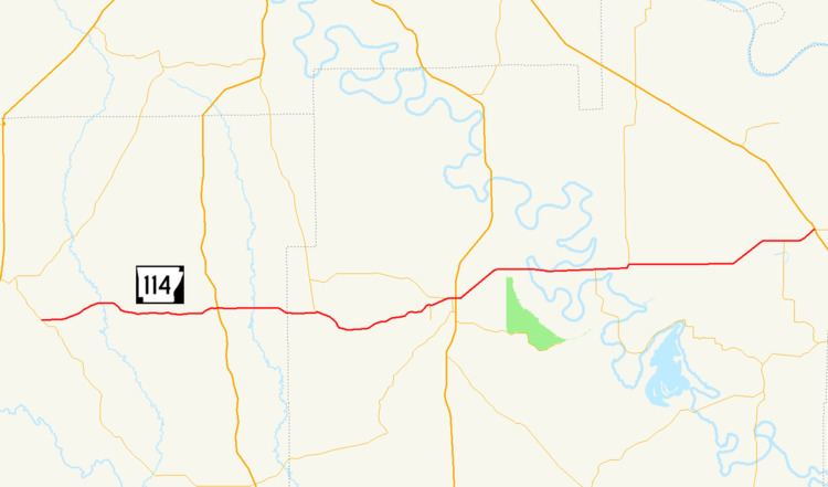
Highway 114 (AR 114, Ark. 114, and Hwy. 114) is a state highway in the Lower Arkansas Delta. The route of 28.66 miles (46.12 km) runs from Highway 35 to US Highway 65 (US 65) in Gould. The route is maintained by the Arkansas State Highway and Transportation Department (AHTD).
Contents
Map of AR-114, Arkansas, USA
Route description
The highway begins in Cleveland County south of Rison at Highway 35. The route runs east to Calmer, where it has a brief officially designated exception with US 63 before entering Lincoln County.
In Lincoln County, Highway 114 has a junction with Highway 54 and Highway 530 before entering Star City. Highway 530 is a two-lane expressway planned as a future extension of Interstate 530 (I-530) south to a future I-69. The route enters Star City, intersecting Highway 11 Business (AR 11B) and forming a concurrency through the city. Highway 11B terminates at Highway 11, and Highway 11/Highway 114 continue to concur heading east to intersect US 425. The pair of routes remain concurrent to the east until Fresno, when Highway 114 turns east toawrd Gould. In Gould, Highway 114 intersects US 65, where it terminates.
History
A former segment running north from Gould to Douglas was removed from the state highway system by the Arkansas State Highway Commission in 2015.
Former route
Highway 114 (AR 114, Ark. 114, and Hwy. 114) was a state highway of 6.90 miles (11.10 km) in Lincoln County. The route began at US 65 in Gould and ran north to Lincoln County Road 812 at Douglas. The route was deleted from the state highway system on December 2, 2015.