
FIPS code 05-18550 Elevation 61 m Zip code 72040 Local time Tuesday 12:06 AM | Time zone Central (CST) (UTC-6) GNIS feature ID 0076785 Area 5.2 km² Population 1,651 (2013) Area code 870 | |
 | ||
Weather 18°C, Wind S at 35 km/h, 83% Humidity | ||
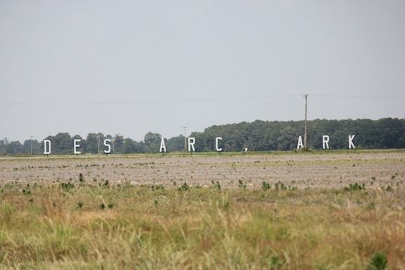
Des Arc is a city in and the county seat of the northern district of Prairie County, Arkansas, United States. The population was 1,933 at the 2000 census.
Contents
Map of Des Arc, AR 72040, USA
Geography
Des Arc is located at 34°58′32″N 91°30′2″W (34.975426, -91.500671).
According to the United States Census Bureau, the city has a total area of 2.0 square miles (5.2 km2), of which 2.0 square miles (5.2 km2) is land and 0.49% is water.
Prairie County has a humid subtropical climate (Köppen Cfa). Prairie County experiences all four seasons, although summers can be extremely hot and humid and winters are mild with little snow. July is the hottest month of the year, with an average high of 92 °F (33.3 °C) and an average low of 73 °F (22.8 °C). Temperatures above 100 °F (38 °C) are not uncommon. January is the coldest month with an average high of 48 °F (8.9 °C) and an average low of 31 °F (−0.6 °C). The highest temperature was 109 °F (42.8 °C), and the lowest temperature recorded was −5 °F (−21 °C). Record snowfall in Des Arc occurred January 7, 1912, with 18 inches (46 cm).
Points of interest
Des Arc has seven properties listed on the National Register of Historic Places, including Bethel House, at Erwin and 2nd Streets, designed by architect Charles L. Thompson.
Demographics
As of the census of 2000, there were 1,933 people, 783 households, and 534 families residing in the city. The population density was 948.0 people per square mile (365.9/km²). There were 850 housing units at an average density of 416.9 per square mile (160.9/km²). The racial makeup of the city was 83.03% White, 14.80% Black or African American, 1.30% Native American, 0.31% Asian, 0.62% from other races, and 0.93% from two or more races. 1.29% of the population were Hispanic or Latino of any race.
There were 783 households out of which 30.0% had children under the age of 18 living with them, 48.3% were married couples living together, 16.6% had a female householder with no husband present, and 31.7% were non-families. 29.4% of all households were made up of individuals and 15.8% had someone living alone who was 65 years of age or older. The average household size was 2.38 and the average family size was 2.93.
In the city, the population was spread out with 24.6% under the age of 18, 7.4% from 18 to 24, 25.7% from 25 to 44, 23.0% from 45 to 64, and 19.2% who were 65 years of age or older. The median age was 40 years. For every 100 females there were 89.0 males. For every 100 females age 18 and over, there were 83.5 males.
The median income for a household in the city was $23,750, and the median income for a family was $28,264. Males had a median income of $26,250 versus $17,500 for females. The per capita income for the city was $14,629. About 16.3% of families and 20.0% of the population were below the poverty line, including 32.2% of those under age 18 and 12.9% of those age 65 or over.
Education
Des Arc is served by the Des Arc School District.