
Website www.whitecountyar.org Founded 23 October 1835 | Area 2,699 km² Population 78,483 (2013) Unemployment rate 6.6% (Apr 2015) | |
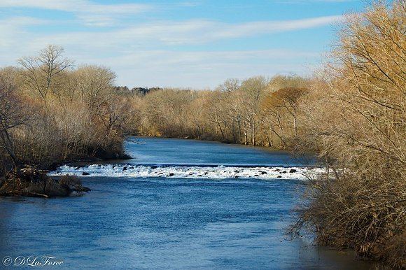 | ||
Rivers White River, Little Red River, Cypress Bayou | ||
White County is a county located in the U.S. state of Arkansas. As of the 2010 census, the population was 77,076. The county seat is Searcy. White County is Arkansas's 31st county, formed on October 23, 1835, from portions of Independence, Jackson, and Pulaski counties and named for Hugh Lawson White, a Whig candidate for President of the United States. It is an alcohol prohibition or dry county, though a few private establishments (such as the Searcy Country Club, and Veterans of Foreign Wars posts in Searcy and Beebe) can sell alcohol.
Contents
- Map of White County AR USA
- History
- Geography
- Adjacent counties
- National and state protected areas
- Demographics
- Economy
- Public education
- Colleges and universities
- Townships
- References
Map of White County, AR, USA
White County comprises the Searcy, AR Micropolitan Statistical Area, which is also included in the Little Rock-North Little Rock, AR Combined Statistical Area.
The 45th and current White County Judge is Michael Lincoln of Searcy, who assumed office in January 2007.
History
On May 17, 1862, White County was the site of the Little Red Skirmish between Union Major General Samule J Curtis and a force of about 100 loosely organized rebels, followed by the Action at Whitney Lane in June., also known as The Skirmish at Searcy Landing.
In 1958, Odell Pollard, a since retired attorney from Searcy, exposed corrupt election practices at Bald Knob, a small city in White County. Election workers cast "absentee ballots" for some thirty pipeline construction workers and their spouses. However, these workers were outside of Arkansas at the time of the election, which had a prohibition measure on the ballot. These voters never cast absentee votes, according to their affidavits presented by Pollard to the White County prosecutor. No action was taken until after the statute of limitations had expired, at which time the charges were rendered moot. Pollard said the fraud case cause him to switch his partisan affiliation from Democrat to Republican. From 1966-1970, Pollard was the state party chairman, and from 1973-1976 was the Arkansas Republican National Committeeman.
In 1988, White County elected virtually an entire slate of Republicans to county offices. Though such Republican sweeps had frequently occurred in northern and northwestern Arkansas, White County was the first in the Little Rock area to turn to the GOP, as the party steadily made inroads toward a two-party system.
A portion of White County is represented in the Arkansas State Senate by the Republican Ronald R. Caldwell, a real estate businessman from Wynne in Cross County.
Geography
According to the U.S. Census Bureau, the county has a total area of 1,042 square miles (2,700 km2), of which 1,035 square miles (2,680 km2) is land and 7.1 square miles (18 km2) (0.7%) is water. It is the second-largest county by area in Arkansas.
Adjacent counties
National and state protected areas
Demographics
As of the 2000 United States Census, there were 67,165 people, 25,148 households, and 18,408 families residing in the county. The population density was 65 people per square mile (25/km²). There were 27,613 housing units at an average density of 27 per square mile (10/km²). The racial makeup of the county was 93.52% White, 3.56% Black or African American, 0.43% Native American, 0.32% Asian, 0.03% Pacific Islander, 0.82% from other races, and 1.31% from two or more races. 1.88% of the population were Hispanic or Latino of any race.
There were 25,148 households out of which 33.00% had children under the age of 18 living with them, 59.90% were married couples living together, 9.50% had a female householder with no husband present, and 26.80% were non-families. 23.40% of all households were made up of individuals and 10.50% had someone living alone who was 65 years of age or older. The average household size was 2.53 and the average family size was 2.98.
In the county, the population was spread out with 24.40% under the age of 18, 12.80% from 18 to 24, 27.20% from 25 to 44, 21.90% from 45 to 64, and 13.80% who were 65 years of age or older. The median age was 35 years. For every 100 females there were 95.20 males. For every 100 females age 18 and over, there were 92.90 males.
The median income for a household in the county was $32,203, and the median income for a family was $38,782. Males had a median income of $29,884 versus $20,323 for females. The per capita income for the county was $15,890. About 10.40% of families and 14.00% of the population were below the poverty line, including 18.10% of those under age 18 and 14.30% of those age 65 or over.
Economy
One of the state's largest banks, First Security Bank, was established in Searcy in 1932 as Security Bank. First Security now has over $4 billion in assets and 70 locations in Arkansas.
Regional ice cream producer and distributor Yarnell Ice Cream Co. has its headquarters in the Searcy's downtown area.
Latina Imports and Latina Nursery are also located in Searcy and is one of the largest female, Hispanic-owned companies in Arkansas.
The first Wal-Mart distribution center away from the corporate headquarters in Bentonville was established in Searcy.
Public education
Public education is provided by several public school districts including:
Colleges and universities
Townships
Townships in Arkansas are the divisions of a county. Each township includes unincorporated areas; some may have incorporated cities or towns within part of their boundaries. Arkansas townships have limited purposes in modern times. However, the United States Census does list Arkansas population based on townships (sometimes referred to as "county subdivisions" or "minor civil divisions"). Townships are also of value for historical purposes in terms of genealogical research. Each town or city is within one or more townships in an Arkansas county based on census maps and publications. The townships of White County are listed below; listed in parentheses are the cities, towns, and/or census-designated places that are fully or partially inside the township.
Source: