
Country United States Incorporated 1851 Local time Saturday 3:38 PM | State Arkansas Founded 1838 Elevation 245 ft (80 m) Population 23,768 (2013) | |
 | ||
Weather 20°C, Wind SW at 19 km/h, 56% Humidity Colleges and Universities Harding University, Harding Academy, Searcy Beauty College, Searcy Beauty College Inc | ||
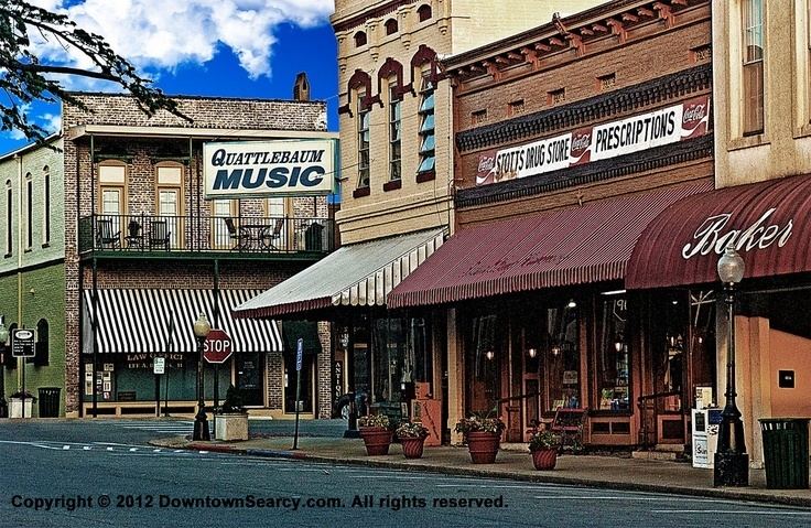
Searcy (/ˈsɜːrsi/ SUR-see) is the largest city and county seat of White County, Arkansas, United States. According to 2014 Census Bureau estimates, the population of the city is 23,768. It is the principal city of the Searcy, AR Micropolitan Statistical Area which encompasses all of White County. The city takes its name from Richard Searcy, a judge for the Superior Court of the Arkansas Territory. A college town, Searcy is the home of Harding University.
Contents
- Map of Searcy AR USA
- Rush hour little rock arkansas to searcy arkansas 2015 05 26
- History
- Geography
- Climate
- Demographics
- Economy
- Education
- Searcy Public Schools
- Riverview Public Schools
- Private schools
- Colleges and Universities
- Notable people
- References
Map of Searcy, AR, USA
Rush hour little rock arkansas to searcy arkansas 2015 05 26
History
Israel Moore, who had traveled west from Philadelphia, was in charge of laying out Searcy's original streets, and "he proceeded to name the major streets of Searcy for those of downtown Old Philadelphia near Independence Hall; Race, Arch, Market, Vine, Spring, and the tree-honoring streets of Cherry, Spruce, Locust and Pine." In 1957, Searcy named Moore Street after the 19th-century founder.
Spring Street also has a namesake in Old City Philadelphia, but it, along with downtown Searcy's Spring Park, may refer to the early history of the Searcy area, when the community was known as White Sulphur Springs. As early as 1834, local springs with purported therapeutic properties initially drew visitors to the area, similar to the popular attraction to Hot Springs.
During the American Civil War, the Battle of Whitney's Lane was fought near Searcy though the exact site is disputed. Searcy Landing, on the Little Red River, is the final resting place for some Union Army soldiers.
Searcy was incorporated on August 6, 1851,
Searcy was a stop on the defunct Missouri and North Arkansas Railroad, which provided passenger and freight service from 1906 to 1946 from Joplin, Missouri, to Helena in Phillips County in eastern Arkansas.
On August 9, 1965, 53 contract workers were killed in a fire in a LGM-25C Titan II missile silo outside Searcy. It was one of the largest industrial accidents in American history.
Despite having lost many factory jobs in the late 20th century, Searcy has recently experienced an economic revitalization. Much of the new revenue is derived from the leasing of mineral rights to natural gas companies. Some residents express concern about the environmental impact of the extensive drilling projects that have taken place. With the decline of gas and oil exploration, Searcy unemployment now averages 33% higher than the national unemployment average.
Geography
According to the United States Census Bureau, the city has a total area of 14.8 square miles (38 km2), of which 14.7 square miles (38 km2) is land and 0.1 square miles (0.26 km2) (0.54%) is water.
Climate
The climate in this area is characterized by hot, humid summers and generally mild to cool winters. According to the Köppen Climate Classification system, Searcy has a humid subtropical climate, abbreviated "Cfa" on climate maps.
Demographics
As of the census of 2014, there were 23,768 people, 8,140 households, and 4,495 families residing in the city. The population density was 1,287.4 people per square mile (497.2/km²). There were 9,244 housing units at an average density of 503.6 per square mile (194.5/km²). The racial makeup of the city was 86.8% White, 7.5% Black or African American, 0.5% Native American, 1.3% Asian, 0.1% Pacific Islander, 1.09% from other races, and 1.9% from two or more races. 4.6% of the population were Hispanic or Latino of any race.
There were 8,140 households out of which 27.4% had children under the age of 18 living with them, 51.8% were married couples living together, 10.8% had a female householder with no husband present, and 34.1% were non-families. 29.5% of all households were made up of individuals and 14.7% had someone living alone who was 65 years of age or older. The average household size was 2.28 and the average family size was 2.86.
In the city, the population was spread out with 20.5% under the age of 18, 23.4% from 18 to 24, 23.3% from 25 to 44, 17.8% from 45 to 64, and 14.7% who were 65 years of age or older. The median age was 30 years. For every 100 females there were 97.5 males. For every 100 females age 18 and over, there were 97.5 males.
The median income for a household in the city was $33,415, and the median income for a family was $41,334. Males had a median income of $32,445 versus $21,142 for females. The per capita income for the city was $19,427. About 11.7% of families and 15.0% of the population were below the U.S. poverty threshold, including 18.1% of those under age 18 and 8.0% of those age 65 or over.
Economy
One of the state's largest banks, First Security Bank, was established in Searcy in 1932 as Security Bank.
In July 1978 Wal-Mart opened its first distribution center (outside of Bentonville) in Searcy. The facility is still open as a Sam's Club Distribution Center.
In recent years, ITT, Maytag, and Kohler closed large factories in the city. Many companies associated with natural gas that supported the brief natural gas boom have also left the city and the economy has suffered. According to zillow.com, Housing has lost approximately 8% of it value since 2012.
Latina Imports and Latina Nursery are also located in Searcy and is one of the largest female, Hispanic-owned companies in Arkansas.
Sales tax for purchases in Searcy is 9.5%
Education
Searcy is served by two public school districts. Searcy Public Schools — including Searcy High School, three elementary schools and middle and junior high campuses — serve all but the far eastern portion of the city. That portion of the city is within the Riverview School District — a consolidation of districts serving Kensett, Griffithville, Judsonia, and surrounding communities in southeastern White County extending to West Point and Georgetown. Previously, the Riverview portion of Searcy was part of the Kensett school district; Riverview High School was built in eastern Searcy following the consolidation.