
Adm. region Oberpfalz Time zone CET (UTC+1) | Founded 1972-07-01 Vehicle registration AS, BUL, ESB, NAB, SUL | |
 | ||
Points of interest Monte Kaolino, Burg Dagestein, Bergbau‑ Und Industrie, Stadtmuseum, Klosterburg Kastl Destinations | ||
Brk kv amberg sulzbach seniorenheim hirschau imagefilm
Amberg-Sulzbach is a district in Bavaria, Germany. It surrounds but does not include the city of Amberg. It is bounded by (from the north and clockwise) the districts of Neustadt (Waldnaab), Schwandorf, Neumarkt, Nürnberger Land and Bayreuth.
Contents
- Brk kv amberg sulzbach seniorenheim hirschau imagefilm
- Map of Amberg Sulzbach Germany
- History
- Geography
- References
Map of Amberg-Sulzbach, Germany
History
The history is linked with the history of the Upper Palatinate and the city of Amberg.
The district was established in 1972 by merging the former district of Amberg and the district-free city of Sulzbach-Rosenberg (the latter one lost its status as a district-free city in this administrative reform).
Geography
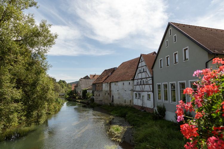
The district is located in the geographical centre of Bavaria, 40 km east of Nuremberg. The main axis of the region is the Vils River (an affluent of the Naab) crossing the district from north to south. West of the river the land rises to the Franconian Jura, while there are gentle hills on the eastern side in the angle between Naab and Vils. The district is mainly covered by forests, especially in its western half.