
Adm. region Oberfranken Population 109,200 (2001) | Time zone CET (UTC+1) | |
 | ||
Vehicle registration BT, EBS, ESB, KEM, MÜB, PEG Website www.landkreis-bayreuth.de Points of interest Devil's Cave, Ochsenkopf, Sommerrodelbahn Pottenstein, Sophienhöhle, Pottenstein Castle Destinations | ||
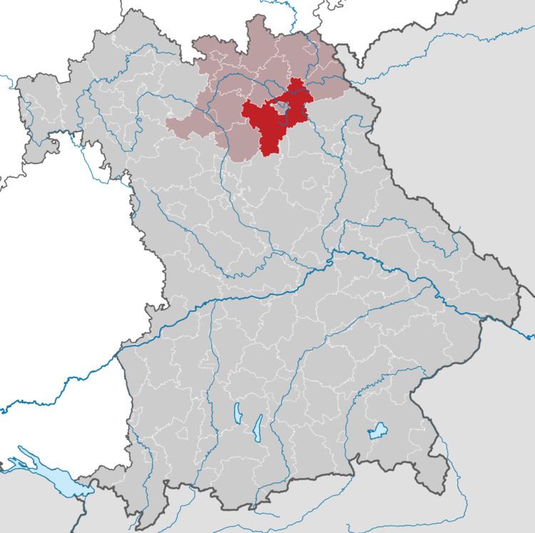
Bayreuth is a district in Bavaria, Germany. It surrounds, but does not include the city of Bayreuth. The district is bounded by (from the north and clockwise) the districts of Kulmbach, Hof, Wunsiedel, Tirschenreuth, Neustadt/Waldnaab, Amberg-Sulzbach, Nürnberger Land, Forchheim and Bamberg.
Contents
Map of Bayreuth, Germany
History
The district was established in 1972 by merging the former districts of Bayreuth and Pegnitz, adding the town Gefrees of the former district of Münchberg and the town of Speichersdorf of the former district of Kemnath.
Geography
The sources of the White Main and the Red Main are both located in the district. The Red Main rises in the very south in the hills of the Frankish Alb, the White Main has its source in the Fichtel Mountains in the east. Both rivers run to the northwest, but do not meet within the district's borders.
The valley of the Red Main separates the two major geographical regions of the district from each other: the hilly countryside of the [Franconian Jura]]and the much higher Fichtel Mountains.
Within the county lies the Veldenstein Forest, one of the largest contiguous areas of woodland in Bavaria.