Elevation 411 m (1,348 ft) Area 74.9 km² Local time Sunday 5:24 AM Dialling code 09622 | Time zone CET/CEST (UTC+1/+2) Population 6,068 (31 Dec 2008) Postal code 92242 Administrative region Upper Palatinate | |
 | ||
Weather -3°C, Wind W at 5 km/h, 94% Humidity | ||
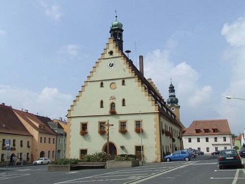
Hirschau is a municipality in the Amberg-Sulzbach district, Upper Palatinate, Bavaria, Germany.
Contents
Map of Hirschau, Germany
Geography
Hirschau lies directly on the Bundesstraße 14 (Nuremberg - Rozvadov), 13 km northeast of Amberg and about 65 km east of Nuremberg. Apart from the main village Hirschau, the municipality consists of the following villages:
Economy
Kaolin, used for the production of porcelain, has been mined at Hirschau since 1901. Interesting is the Monte Kaolino, a 120 meter high mound made from 32,000,000 tons of quartz sand from excess sand in years of operation. It is now used as a (sand) skiing/camping resort during the summer months. It is also the place where the yearly Sandboarding Championships are held.
References
Hirschau Wikipedia(Text) CC BY-SA
