
 | ||
Points of interest Amami Ōshima, Kikaijima, Ooganeku Beach Destinations Amami Ōshima, Yoronjima, Tokunoshima, Kakeromajima, Okinoerabujima | ||
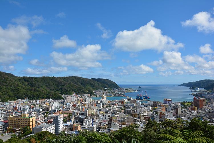
Naze amami oshima japan part 1 of 3
Ōshima (大島郡, Ōshima-gun) is a district located in Kagoshima Prefecture, Japan.
Contents
- Naze amami oshima japan part 1 of 3
- Map of Oshima District Kagoshima Prefecture Japan
- Amami oshima kagoshima japan from kasari to ayamaru cape
- Towns and villages
- District timeline after WWII
- Transportation
- Amami Islands Homeland Restoration Movement
- References
Map of Oshima District, Kagoshima Prefecture, Japan
As of the March 20, 2006 merger but with 2003 population statistics, the district has an estimated population of 78,882 and a density of 84.4 persons per km². The total area is 934.10 km².
Amami oshima kagoshima japan from kasari to ayamaru cape
Towns and villages
District timeline (after WWII)
Transportation
Kikai Airport is located in the district.
Amami Islands Homeland Restoration Movement
The "restoration of Ōshima District of Kagoshima Prefecture" was a slogan of the Amami Islands Homeland Restoration Movement during the United States military occupation of the Amami Islands from 1945/6 to 1953. An overwhelming majority of people of Amami, including those in mainland Japan, urged the immediate return of the islands to Japan. The homeland restoration movements except those by leftist minorities tried to differentiate Amami from Okinawa because the U.S. seemingly intended permanent control of Okinawa. They opposed the name "Northern Ryukyu" occasionally labeled by the U.S. occupiers. Instead they used "Ōshima District, Kagoshima Prefecture" as a symbol of national belongingness.