
District Ōshima Area 104.9 km² Local time Sunday 4:22 PM | Phone number 0997-82-1111 Population 11,673 (1 Jun 2013) Number of airports 1 | |
 | ||
Weather 17°C, Wind NW at 29 km/h, 56% Humidity Points of interest Tokunoshima Fruit Garden, Tetehama Seaside Park, Nagoriyama Shrine | ||
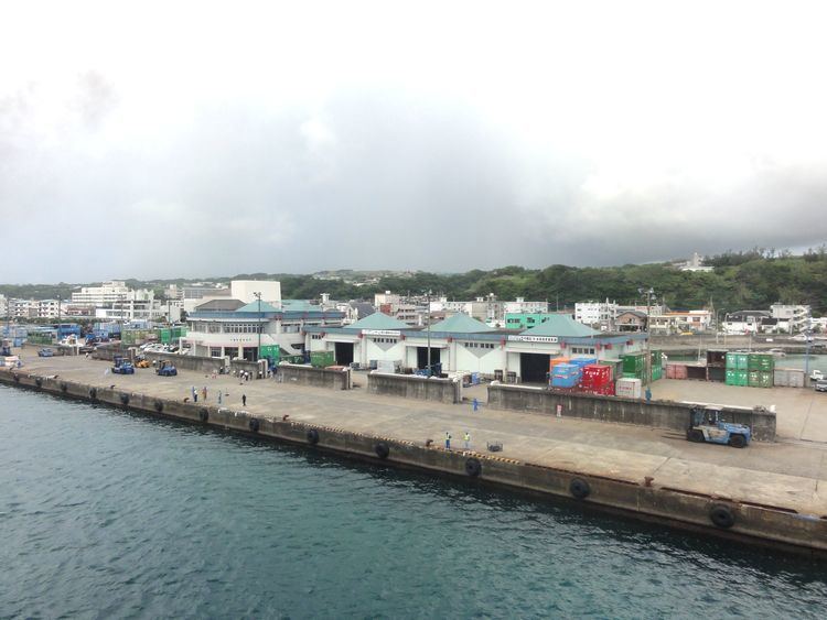
Tokunoshima (徳之島町, Tokunoshima-chō) is a town located on Tokunoshima, in Ōshima District, Kagoshima Prefecture, Japan.
Contents
- Map of Tokunoshima Oshima District Kagoshima Prefecture Japan
- Geography
- Climate
- Surrounding municipalities
- History
- Transportation
- Noted people from Tokunoshima
- References
Map of Tokunoshima, Oshima District, Kagoshima Prefecture, Japan
As of June 2013, the town has an estimated population of 11,673 and a population density of 111 persons per km². The total area is 104.87 km².
Geography
Tokunoshima occupies the northeastern portion of the island of Tokunoshima, with the Pacific Ocean to the east.
Climate
The climate is classified as humid subtropical (Köppen climate classification Cfa) with very warm summers and mild winters(average temperature 21.1 °C (70.0 °F)). Precipitation is high throughout the year, but is highest in the months of May, June and September. Because of its climate, tropical and sub-tropical fruits are in abundance.
Surrounding municipalities
History
On 1 April 1908 Kametsu Village was founded. It was upgraded to town status on January 1, 1942. As with all of Tokunoshima, the town came under the administration of the United States from 1 July 1946 to 25 December 1953. On 1 April 1958, Kametsu merged with the neighboring village of Higashi-Amagi, and was renamed Tokunoshima.