
Elevation 250 m | ||
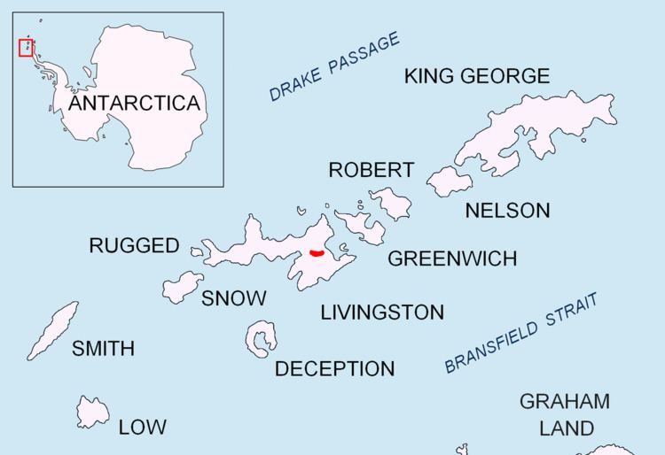 | ||
Zlatograd Rock (Zlatogradski Kamak zla-to-'grad-ski 'ka-m&k) is a rocky 240 m peak forming the eastern extremity of Bowles Ridge, Livingston Island in the South Shetland Islands, Antarctica. The peak overlooks Struma Glacier to the northwest and Huron Glacier to the southeast. It is named after the town of Zlatograd in the Rhodope Mountains, Southern Bulgaria.
Contents
Map of Zlatograd Rock, Antarctica
Location
The peak is located at 62°36′39.4″S 60°05′50″W, which is 1.06 km east-northeast of Atanasoff Nunatak, 1.94 km southeast of Sliven Peak, 3.11 km south of Sindel Point, 4.7 km northwest of Yana Point and 3.7 km northwest of Godech Nunatak.
First mapped from the Bulgarian topographic survey Tangra 2004/05.
Maps
References
Zlatograd Rock Wikipedia(Text) CC BY-SA