
 | ||
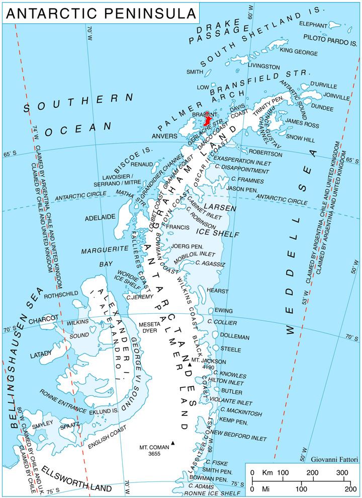
Yunak Peak (Bulgarian: връх Юнак, ‘Vrah Yunak’ \'vr&h yu-'nak) is the ice-covered peak of elevation 600 m at the southeast extremity of Gutsal Ridge in Stribog Mountains on Brabant Island in the Palmer Archipelago, Antarctica. It has steep and partly ice-free southwest and south slopes, and surmounts Buls Bay to the southeast and Hippocrates Glacier to the west.
Contents
The peak is named after the settlement of Yunak in Northeastern Bulgaria.
Location
Yunak Peak is located at 64°22′20″S 62°17′20″W, which is 2.35 km southeast of Zelenika Peak, 3.8 km northwest of Terrada Point and 5.18 km east-southeast of Mount Imhotep. British mapping in 1980 and 2008.
Maps
References
Yunak Peak Wikipedia(Text) CC BY-SA