
 | ||
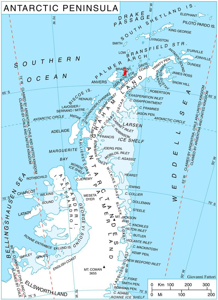
Hippocrates Glacier (64°22′S 62°22′W) is a glacier at least 3 nautical miles (6 km) long and 2 nautical miles (4 km) wide, draining the southeast slopes of Stribog Mountains and flowing southeast between Solvay Mountains and Gutsal Ridge into Buls Bay on the east side of Brabant Island, in the Palmer Archipelago, Antarctica. It was shown on an Argentine government chart in 1953, but not named. The glacier was photographed by Hunting Aerosurveys Ltd in 1956–57, and mapped from these photos in 1959. It was named by the UK Antarctic Place-Names Committee for Hippocrates, a Greek physician and author of numerous works on medicine, who also established a professional code of medical conduct.
Contents
Map of Hippocrates Glacier, Antarctica
Maps
References
Hippocrates Glacier Wikipedia(Text) CC BY-SA