
 | ||
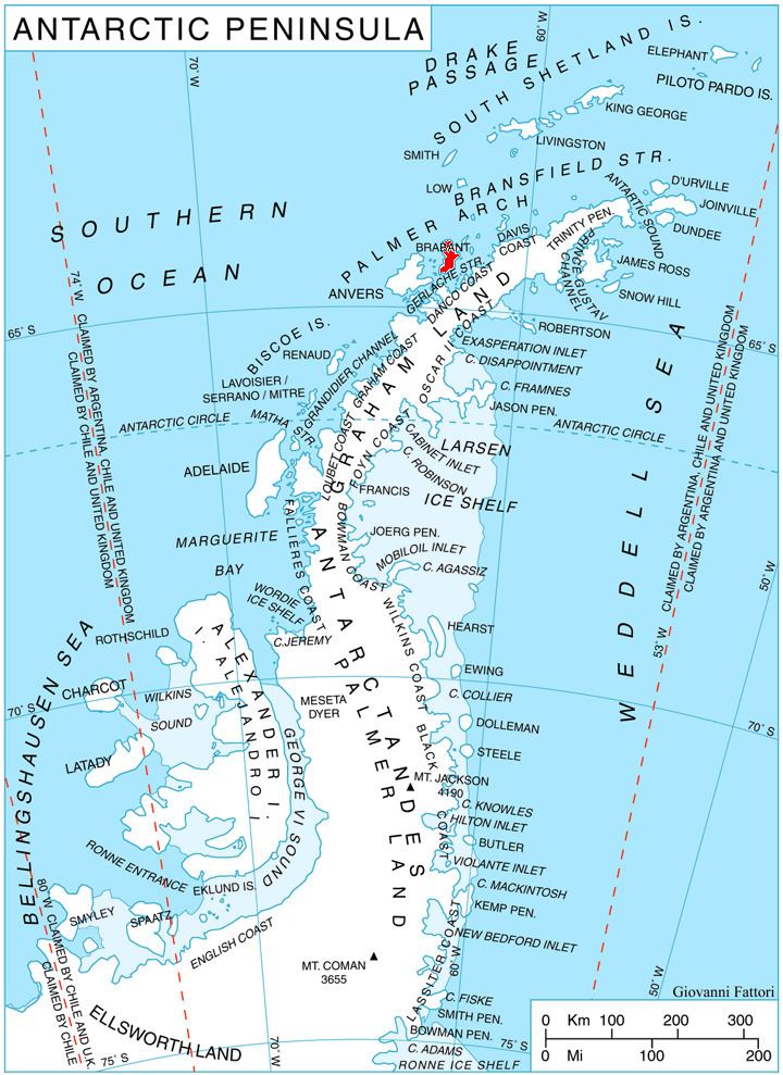
Gutsal Ridge (Bulgarian: Гуцалски хребет, ‘Gutsalski Hrebet’ \'gu-tsal-ski 'hre-bet) is the ice-covered ridge extending 10.4 km in northwest-southeast direction and rising to 1600 m on the southeast side of Stribog Mountains on Brabant Island in the Palmer Archipelago, Antarctica. The southeast half of the ridge has steep and partly ice-free southwest slopes. It surmounts Hippocrates Glacier to the southwest and Balanstra Glacier to the northeast.
Contents
The ridge is named after the settlement of Gutsal in Western Bulgaria.
Location
Gutsal Ridge is centred at 64°20′25″S 62°20′40″W. British mapping in 1980 and 2008.
Maps
References
Gutsal Ridge Wikipedia(Text) CC BY-SA