
Country United States Elevation 249 m Local time Sunday 3:00 AM | GNIS feature ID 0454054 Area 145.2 km² Population 2,486 (2010) | |
 | ||
Weather 6°C, Wind S at 2 km/h, 85% Humidity Points of interest Strawtown Koteewi Park, Taylor Center Natural History, Koteewi Prairie Park | ||
White River Township is one of nine townships in Hamilton County, Indiana, United States. As of the 2010 census, its population was 2,486 and it contained 1,028 housing units. It is the least developed township in the county.
Contents
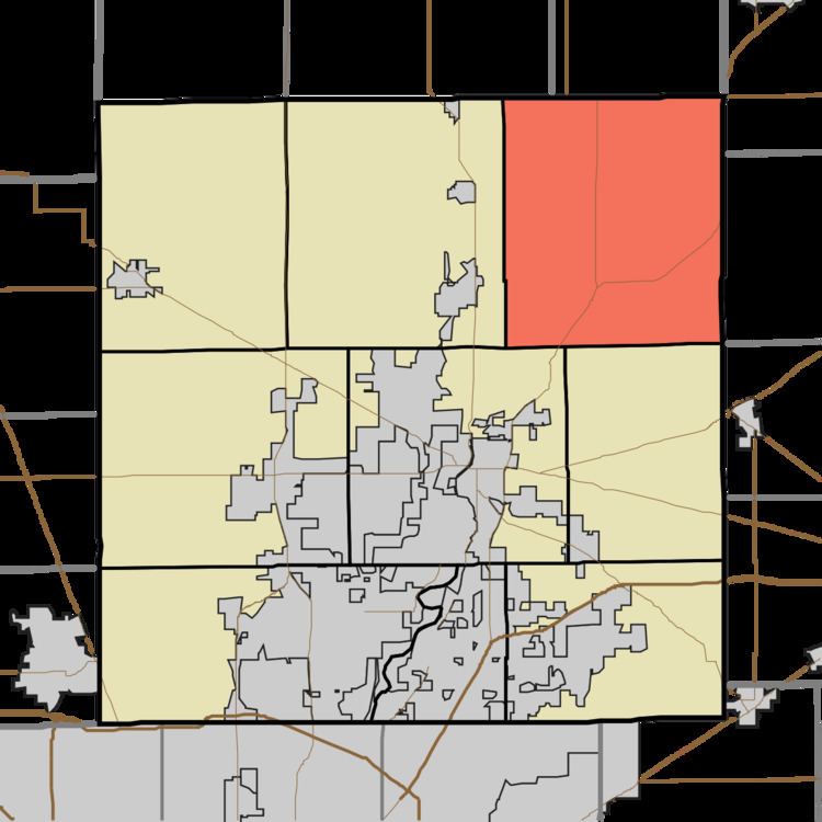
- Map of White River Township IN USA
- History
- Geography
- Unincorporated towns
- Adjacent townships
- Cemeteries
- Major highways
- References
Map of White River Township, IN, USA
History
White River Township was organized in 1823. It is the oldest township in Hamilton County.
Geography
According to the 2010 census, the township has a total area of 56.07 square miles (145.2 km2), of which 55.6 square miles (144 km2) (or 99.16%) is land and 0.46 square miles (1.2 km2) (or 0.82%) is water. The streams of Bear Creek, Deer Creek, Duck Creek, Dyers Creek, Lamberson Ditch, Lock Ditch, Long Branch, Rogers Ditch, Sugar Run, and Weasel Creek run through this township.
Unincorporated towns
Duck Creek, Hamilton County, Indiana (This list is based on USGS data and may include former settlements.)
Adjacent townships
Cemeteries
The township contains four cemeteries: Buscher, Carey, Grubbs, Little Carey, Aroma Methodist, Newland Cemeteries.