
Country United States GNIS feature ID 0453676 Population 50,564 (2010) | Elevation 791 ft (241 m) Local time Tuesday 4:45 PM | |
 | ||
Weather 12°C, Wind N at 13 km/h, 76% Humidity Points of interest Dr James A Dillon Park, Morse Beach, Indiana Transportation Museum, Potter's Bridge, Nickel Plate Arts | ||
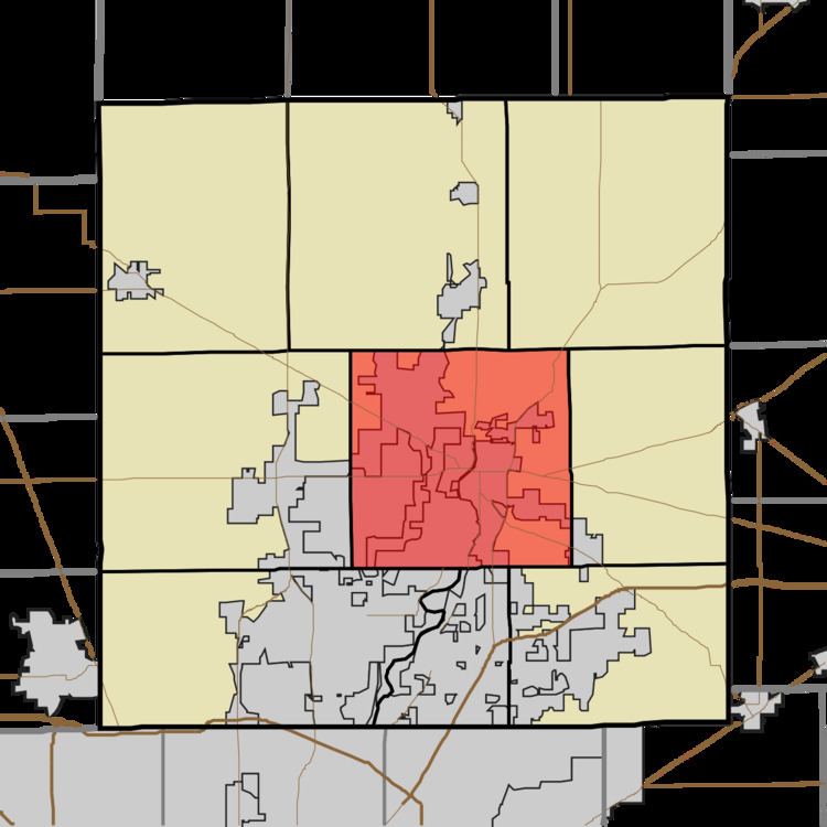
Noblesville Township is one of nine townships in Hamilton County, Indiana, United States. As of the 2010 census, its population was 50,564 and it contained 20,122 housing units.
Contents
- Map of Noblesville Township IN USA
- History
- Geography
- Cities and towns
- Unincorporated towns
- Adjacent townships
- Cemeteries
- Major highways
- Airports and landing strips
- References
Map of Noblesville Township, IN, USA
History
Noblesville Township was organized in 1827.
The Holliday Hydroelectric Powerhouse and Dam and Potter's Covered Bridge are listed on the National Register of Historic Places.
Geography
According to the 2010 census, the township has a total area of 49.12 square miles (127.2 km2), of which 46.82 square miles (121.3 km2) (or 95.32%) is land and 2.29 square miles (5.9 km2) (or 4.66%) is water. The streams of Cicero Creek, Dry Branch, East Fork Sly Run, Lily Vestal Drain, Hinkle Creek, Ingerman Ditch, Kirkendall Creek, Mallery Granger Ditch, Overdorff Branch, Stony Creek, and West Fork Sly Run run through this township.
Cities and towns
Unincorporated towns
(This list is based on USGS data and may include former settlements.)
Adjacent townships
Cemeteries
The township contains eight cemeteries: Crownland, Gascho-Trissel, Gray, Hurlock, Riverside, Thorp, Weaver and Zimmer.