
GNIS feature ID 0453879 Elevation 265 m Local time Tuesday 11:49 AM | ZIP codes 46011, 46051, 46064 Area 73.24 km² Population 3,871 (2010) | |
 | ||
Weather 11°C, Wind N at 16 km/h, 87% Humidity | ||
Stony Creek Township is one of fourteen townships in Madison County, Indiana, United States. As of the 2010 census, its population was 3,871 and it contained 1,613 housing units.
Contents
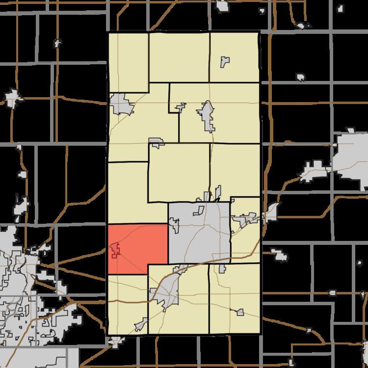
- Map of Stony Creek Township IN USA
- Geography
- Cities towns villages
- Unincorporated towns
- Cemeteries
- Major highways
- School districts
- Political districts
- References
Map of Stony Creek Township, IN, USA
It was named from a stream in the northwestern part.
Geography
According to the 2010 census, the township has a total area of 28.28 square miles (73.2 km2), all land.
Cities, towns, villages
Unincorporated towns
(This list is based on USGS data and may include former settlements.)
Cemeteries
The township contains these two cemeteries: Brookside and Old Woodward.
Major highways
School districts
Political districts
References
Stony Creek Township, Madison County, Indiana Wikipedia(Text) CC BY-SA