
Elevation 256 m Local time Friday 10:55 PM | GNIS feature ID 0453454 Area 75.1 km² Population 1,904 (2010) | |
 | ||
ZIP codes 46011, 46036, 46044, 46060 Weather 7°C, Wind SW at 13 km/h, 94% Humidity | ||
Jackson Township is one of fourteen townships in Madison County, Indiana, United States. As of the 2010 census, its population was 1,904 and it contained 789 housing units.
Contents
- Map of Jackson IN USA
- Geography
- Unincorporated towns
- Cemeteries
- Landmarks
- School districts
- Political districts
- References
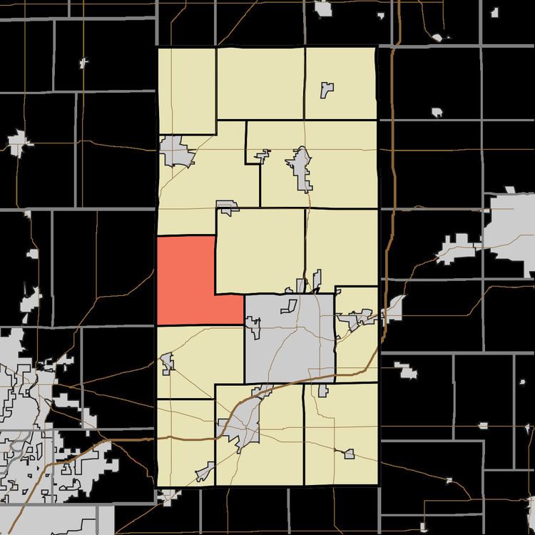
Map of Jackson, IN, USA
The townships name derived from President Andrew Jackson's. name.
Geography
According to the 2010 census, the township has a total area of 29 square miles (75 km2), of which 28.92 square miles (74.9 km2) (or 99.72%) is land and 0.08 square miles (0.21 km2) (or 0.28%) is water.
Unincorporated towns
(This list is based on USGS data and may include former settlements.)
Cemeteries
The township contains these two cemeteries: Neese and Perkinsville.
Landmarks
School districts
Political districts
References
Jackson Township, Madison County, Indiana Wikipedia(Text) CC BY-SA