
Country United States Elevation 265 m Population 10,368 (2010) | GNIS feature ID 0453446 Area 145.5 km² Local time Friday 10:51 PM | |
 | ||
Weather 7°C, Wind SW at 13 km/h, 91% Humidity | ||
Jackson Township is one of nine townships in Hamilton County, Indiana, United States. As of the 2010 census, its population was 10,368 and it contained 4,367 housing units.
Contents
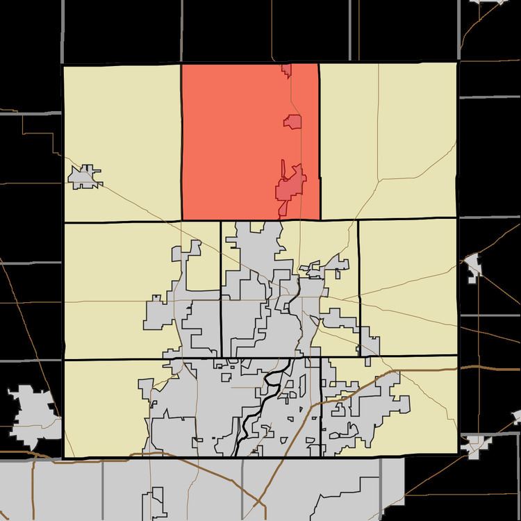
- Map of Jackson Township IN USA
- History
- Geography
- Cities and towns
- Unincorporated towns
- Adjacent townships
- Cemeteries
- Major highways
- Airports and landing strips
- References
Map of Jackson Township, IN, USA
History
Jackson Township was organized in 1833.
Roberts Chapel was listed on the National Register of Historic Places in 1996.
Geography
According to the 2010 census, the township has a total area of 56.19 square miles (145.5 km2), of which 54.82 square miles (142.0 km2) (or 97.56%) is land and 1.36 square miles (3.5 km2) (or 2.42%) is water. The streams of Bear Slide Creek, Bennett Ditch, Cicero Creek, Hinkle Creek, Little Cicero Creek, Possum Run, Sugar Run, Taylor Creek, and Weasel Creek run through this township.
Cities and towns
Unincorporated towns
(This list is based on USGS data and may include former settlements.)
Adjacent townships
Cemeteries
The township contains thirteen cemeteries: Brethren, Cicero, Dunn, Emmanuel Lutheran, Hinkle, Hurley, Morley, Mount Pleasant, Mount Pleasant, Robert's Chapel, Scherer, Taylor and West Grove.