
Length 308 km Country Serbia | Discharge 120 m³/s Basin size 15,849 km2 (6,119 sq mi) | |
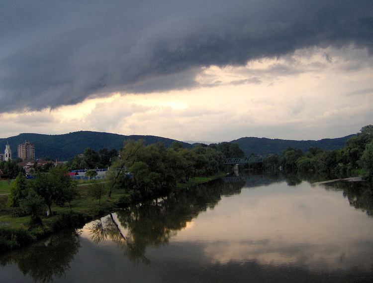 | ||
River mouth with the South Morava forms the Great Morava at Stalać, Serbia | ||
West Morava (Serbian: Западна Морава / Zapadna Morava, [zâːpadnaː mɔ̝̌rav̞a]), is a river in central Serbia, a 308 km-long longer headstream of the Great Morava, which it forms with the South Morava. It was known as Brongos in antiquity.
Contents
Map of West Morava, Serbia
OriginEdit
The West Morava originates in the Tašti field, east of the town of Požega, from the Golijska Moravica and Đetinja headstreams. In the field Đetinja receives from the left its main tributary, the Skrapež but less than a kilometer after the confluence, it meets the Golijska Moravica from the south, forming the West Morava. Since the proximity of the confluences of Đetinja, Skrapež and Golijska Moravica, some sources consider all three rivers to be direct headstreams of the West Morava. Following the direction of the course, the Đetinja is a natural headstream of the West Morava, but since Golijska Moravica is 23 km longer, the latter is considered as the main headstream. Measured from the source of the Golijska Moravica, the West Morava is 308 km long while the length of the West Morava proper is 210 km.
CourseEdit
Unlike the South and Great Morava's meridian (south-to-north) flow, the West Morava runs in an opposed, latitudinal (west-to-east) direction, dividing the region of Šumadija of the central Serbia from the southern parts of the country.
Due to the West Morava's direction, it flows between many mountains, regions and sub-regions:
EconomyEdit
The West Morava river valley, Zapadno Pomoravlje, is economically the most developed of all three Morava river valleys. With the valley of the Ibar, the West Morava has a huge potential in electricity production (the Ovčar (6 MW) and Međuvršje (7 MW) hydroelectric power plants). Water is also used for the irrigation and for the same purpose the artificial lake Parmenac is created on the river, thus helping the already fertile region (grains, orchards). Also, out of all three Morava rivers, the West Morava's valley is the most forested one.
The watershed of the West Morava is rich in ores, (the Ibar section most of all), and includes the mining of hard coal, magnesite, chromium, etc. As a result, the industry is very developed with a string of heavily industrialized towns: Užice, Požega, Čačak, Kraljevo, Trstenik and Kruševac. The traffic is also important for the economy as the whole of the river valley is a natural route for the both roads and railways connecting eastern, central and western Serbia.
CharacteristicsEdit
Altogether, the West Morava receives 85 tributaries. The river used to be longer (319 km), but due to the regulation of the flow, it is shorter now.
The West Morava has an average discharge of 120 m³/s, but it is characterized by extreme fluctuations, which results in severe floods.
The West Morava drains an area of 15,849 km² (42,3% of the entire Great Morava watershed), belongs to the Black Sea drainage basin and it is not navigable. When melioration program began in 1966, it was projected that it will become navigable from Kruševac to Čačak.