
First mentioned 1253 Area rank 11th Local time Thursday 10:24 AM | Settlements 101 Area 1,059 km² | |
 | ||
Region Šumadija and Western Serbia Weather 14°C, Wind SE at 3 km/h, 43% Humidity | ||
Road trip driving through serbia from zednik over belgrade ljig gornji milanovac to sjenica
Sjenica (Serbian Cyrillic: Сјеница; [sjɛ̌nitsa]), is a town and municipality located in the Zlatibor District of the western Serbia. The population of the town, according to 2011 census, is 14,060 inhabitants, while the municipality has 26,392.
Contents
- Road trip driving through serbia from zednik over belgrade ljig gornji milanovac to sjenica
- Map of Sjenica Serbia
- Road trip driving in a small town in south west serbia sjenica
- History
- Demographics
- Ethnic groups
- Geography and climate
- Twin cities
- References
Map of Sjenica, Serbia
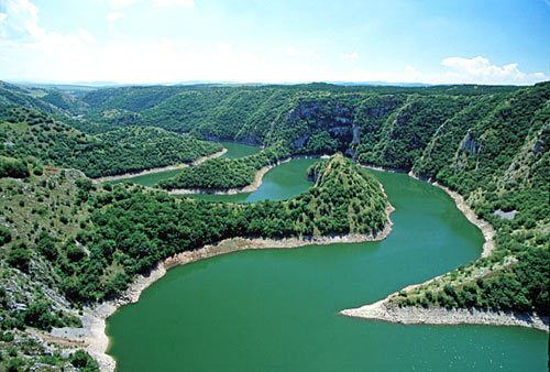
Sjenica is situated in the Pešter plateau, and is surrounded by the mountains of Jadovnik, Ozren, Giljeva and Javor.
Road trip driving in a small town in south west serbia sjenica
History
It is an old town, first mentioned in 1253 AD as a place where many merchants rested and paid taxes while on their way to Dubrovnik. Voivode Stefan Vasoje, the son of King Stefan Konstantin (r. 1321-1322), received Sjenica as an appanage by Emperor Stefan Dušan (r. 1331–1355). During the reign of the Ottoman Empire, Sjenica was used as a fortified site. On a nearby hill the Ottomans built a fortress, which was later demolished. Next to the fortress was a merchants' quarter and few wooden residential homes. In the 19th century, Sjenica was considered a high priority because of its political, military and strategic significance, thus many military campaigns were led during the First Serbian Uprising. Soon after, a new turmoil came to the region with a resistance movement against Sultan Mahmud II's reforms. During the Ottoman-Albanian hostilities of 1901 the town was partly burnt by Albanian bands. In the 1908-12 Ottoman parliament, the elected representative of Sjenica was Hasan Muhidin Bey (Hasan Muhedini), a local prominent Albanian.
In 1917 when the area was under Austrian control a conference was held, in which the representatives drafted and signed a resolution for the union of the area with Bosnia or the establishment of an autonomous region.
From 1929 to 1941, Sjenica was part of the Zeta Banovina of the Kingdom of Yugoslavia.
During World War II the SS Polizei-Selbstschutz-Regiment Sandschak under Karl von Krempler was stationed here consisted of local Muslim population, during a period when many Serbs lost their lives. In 1943 Sjenica was the battleground of intense fighting between Partisans and the German army.
Demographics
According to the last official census of 2011, the Municipality of Sjenica has a population of 26,392 inhabitants. The population density on the territory of the municipality is 24.9 inhabitants per square kilometer.
Ethnic groups
In 1991, the population of the municipality of Sjenica was 76.1% Muslims by nationality, 22.6% Serbs and Montenegrins, and 1.3% others. In the 1991 census, most of those who declared themselves as Muslims by nationality, some declared themselves as Bosniaks in the next census of 2002, while others still declared themselves as a Muslims by nationality.
Most of the population in Sjenica are Bosniaks or Muslims by the ethnicity (78.55%), followed by Serbs (19.95%) and Romani (0.35%). Ethnic composition of the municipality (2011 census):
Geography and climate
Sjenica is located at an altitude of 1,026 meters above sea level, making it one of the highest towns in Serbia and the Balkans. Temperatures fall below freezing on average 134 days per year, with the first freeze in late September and the last in early May. According to the Köppen-Geiger climate classification, it has a humid continental climate (Dfb) with freezing and not so humid winters, and with warm and humid summers, but with cold nights.